
Wendover, Kentucky
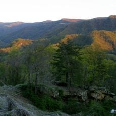
Black Mountain
48.2 km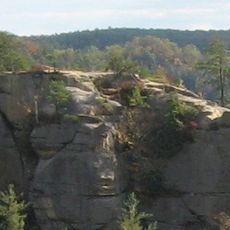
Daniel Boone National Forest
48.6 km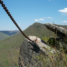
Pine Mountain State Resort Park
51.9 km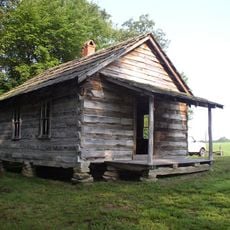
Hensley Settlement
53 km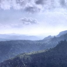
Black Mountain Off-Road Adventure Area
31.4 km
Carr Creek Lake
34.3 km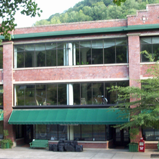
Kentucky Coal Mining Museum
41 km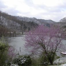
Carr Creek State Park
34.2 km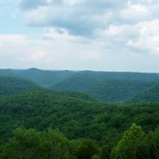
Robinson Forest
43.2 km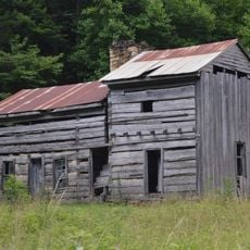
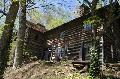
John Shell Cabin
17 km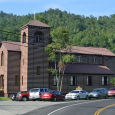
Buckhorn Presbyterian Church and the Greer Gymnasium
26.4 km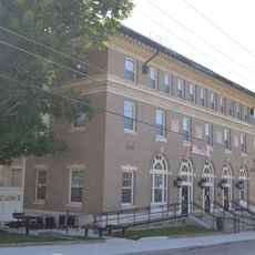
Jackson Post Office
47.5 km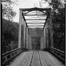
Kentucky Route 2014 Bridge
50.2 km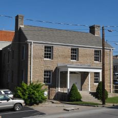
Breathitt County Jail
47.4 km
Derby Historic District
52.8 km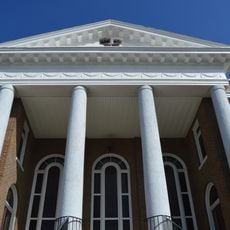
M.E. Church, South
47.4 km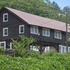
Wooton Presbyterian Center
8.2 km
Pineville Courthouse Square Historic District
50.2 km
Hindman Historic District
41.2 km
Harlan Commercial District
31.5 km
Peabody-Fordson Historic District
20 km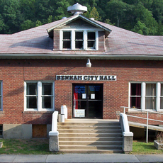
Benham Historic District
41.1 km
Lynch Historic District
43.7 km
Cumberland Central Business District
37.3 km
Bolen Building
41 km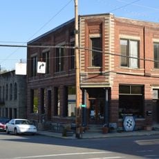
Whitesburg Historic District
47.9 km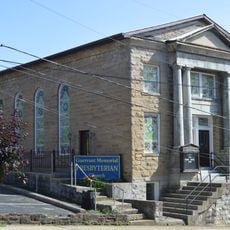
Jackson Commercial District
47.4 km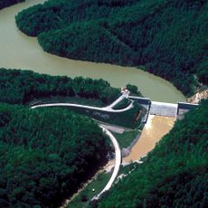
Martins Fork Lake
43.4 kmReviews
Visited this place? Tap the stars to rate it and share your experience / photos with the community! Try now! You can cancel it anytime.
Discover hidden gems everywhere you go!
From secret cafés to breathtaking viewpoints, skip the crowded tourist spots and find places that match your style. Our app makes it easy with voice search, smart filtering, route optimization, and insider tips from travelers worldwide. Download now for the complete mobile experience.

A unique approach to discovering new places❞
— Le Figaro
All the places worth exploring❞
— France Info
A tailor-made excursion in just a few clicks❞
— 20 Minutes