
Southeast Piscataquis, human settlement in Piscataquis County, Maine, United States of America
Location: Piscataquis County
GPS coordinates: 45.17639,-68.92750
Latest update: March 14, 2025 07:28

University of Maine
37 km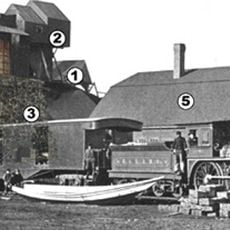
Katahdin Iron Works
35.6 km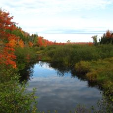
Sunkhaze Meadows National Wildlife Refuge
36.2 km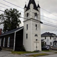
St. Anne's Church and Mission Site
33.8 km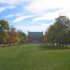
Fay Hyland Botanical Plantation
37 km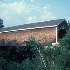
Robyville Bridge
26.2 km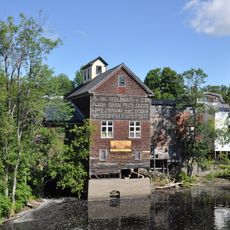
American Woolen Company Foxcroft Mill
23.8 km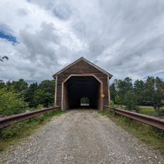
Lowes Bridge
30.4 km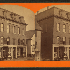
Bank Block
33.2 km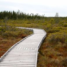
Orono Bog
37.7 km
Center Theatre
23.7 km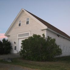
Page Farm & Home Museum
37.2 km
Hirundo Wildlife Refuge
23.8 km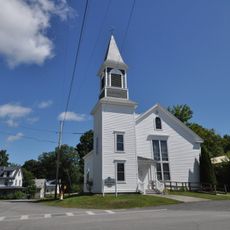
Former Free Will Baptist Church
9.6 km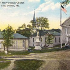
Abbott Memorial Library
33.1 km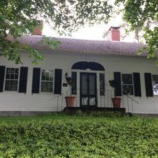
William Colburn House
37.6 km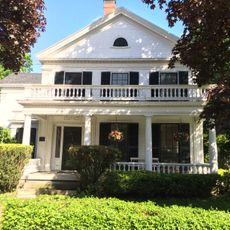
Gov. Israel Washburn House
38.7 km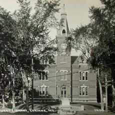
Stewart Free Library
38.8 km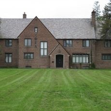
Phi Gamma Delta House
37.5 km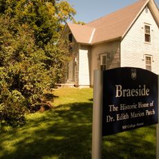
Edith Marion Patch House
35.6 km
Chandler-Parsons Blacksmith Shop
26.1 km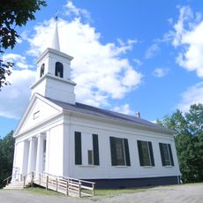
Stetson Union Church
35.6 km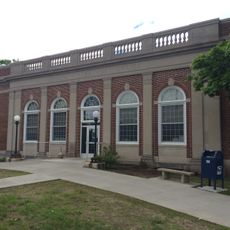
Orono Post Office
38.2 km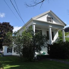
James Sullivan Wiley House
23.4 km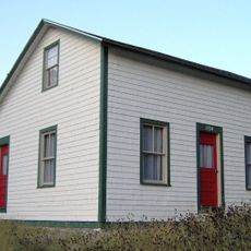
Gordon Fox Ranch
34 km
Guilford Memorial Library
35.8 km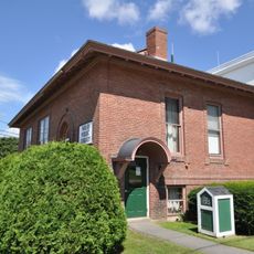
Milo Public Library
10.6 km
Corinth Town Hall and Corinthian Lodge No. 59, I.O.O.F.
20.8 kmReviews
Visited this place? Tap the stars to rate it and share your experience / photos with the community! Try now! You can cancel it anytime.
Discover hidden gems everywhere you go!
From secret cafés to breathtaking viewpoints, skip the crowded tourist spots and find places that match your style. Our app makes it easy with voice search, smart filtering, route optimization, and insider tips from travelers worldwide. Download now for the complete mobile experience.

A unique approach to discovering new places❞
— Le Figaro
All the places worth exploring❞
— France Info
A tailor-made excursion in just a few clicks❞
— 20 Minutes