
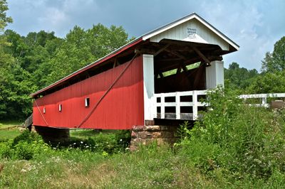
Rinard Covered Bridge, covered bridge in Ludlow Township, Washington County, Ohio
Location: Ludlow Township
Inception: 1876
Address: County Road 406
GPS coordinates: 39.53667,-81.22306
Latest update: September 23, 2025 16:46
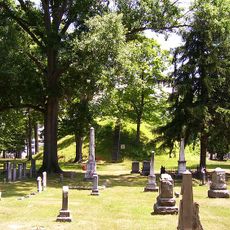
Mound Cemetery
23.6 km
Marietta Earthworks
23.6 km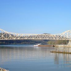
Hi Carpenter Memorial Bridge
16.6 km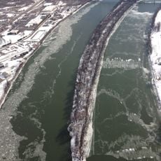
Buckley Island
23 km
Willow Island Lock and Dam
21.4 km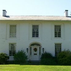
Colonel Joseph Barker House
23.5 km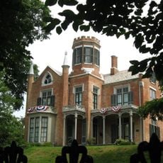
The Castle
23.8 km
Marietta Historic District
23.9 km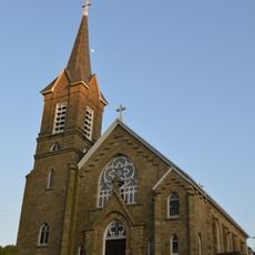
St. Henry Roman Catholic Church and Rectory
14.3 km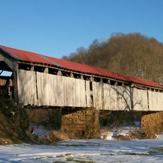
Knowlton Covered Bridge
9.1 km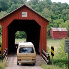
Hune Covered Bridge
3.7 km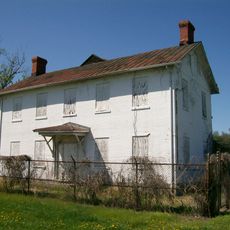
Judge Joseph Barker House
21.9 km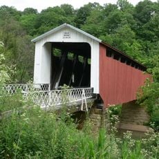
Hildreth Covered Bridge
17 km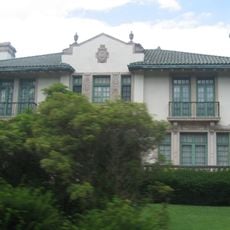
E. A. Durham House
19.2 km
First Unitarian Church of Marietta
23.9 km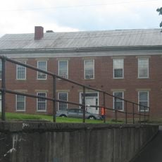
Cain House
16.5 km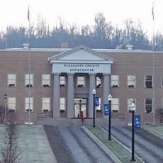
Pleasants County Courthouse
16.6 km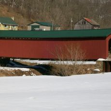
Foreaker Covered Bridge
15.9 km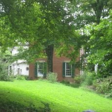
Wells-Schaff House
18.8 km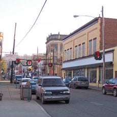
Sistersville Historic District
19.8 km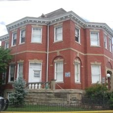
Sistersville City Hall
19.7 km
Waernicke-Hille House and Store
6 km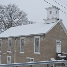
Warner Community Church
16.7 km
The Castle
23.8 km
Muskingum Academy, 1797 - Birth of Higher Education in Ohio
23.6 km
Marietta Branch Library
23.7 km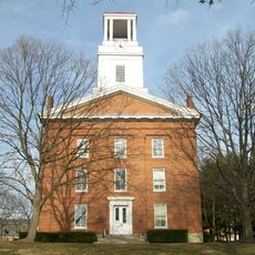
Erwin Hall
23.7 km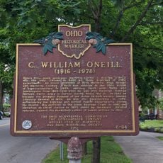
C. William O'Neill (1916-1978)
23.8 kmReviews
Visited this place? Tap the stars to rate it and share your experience / photos with the community! Try now! You can cancel it anytime.
Discover hidden gems everywhere you go!
From secret cafés to breathtaking viewpoints, skip the crowded tourist spots and find places that match your style. Our app makes it easy with voice search, smart filtering, route optimization, and insider tips from travelers worldwide. Download now for the complete mobile experience.

A unique approach to discovering new places❞
— Le Figaro
All the places worth exploring❞
— France Info
A tailor-made excursion in just a few clicks❞
— 20 Minutes