
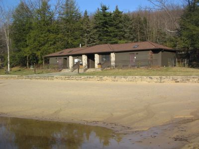
Black Moshannon State Park Day Use District
Black Moshannon State Park Day Use District, district historique de Pennsylvanie
Location: Centre County
Architectural style: National Park Service rustic
GPS coordinates: 40.91574,-78.05943
Latest update: March 4, 2025 16:35
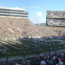
Beaver Stadium
20.6 km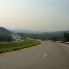
Interstate 99
12.7 km
Black Moshannon State Park
2 km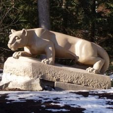
Nittany Lion Shrine
20.8 km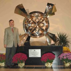
Octacube
21.2 km
Palmer Museum of Art
20.8 km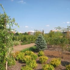
The Arboretum at Penn State
20.6 km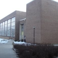
Garfield Thomas Water Tunnel
21.1 km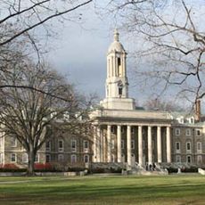
Farmers' High School
21.2 km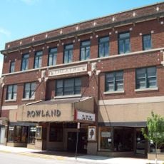
Rowland Theater
14 km
Tudek Site
20.7 km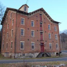
Brockerhoff Mill
21.9 km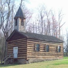
St. Severin's Old Log Church
13.6 km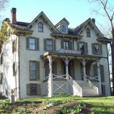
Centre Furnace Mansion House
21.9 km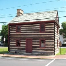
Philipsburg Historic District
13.3 km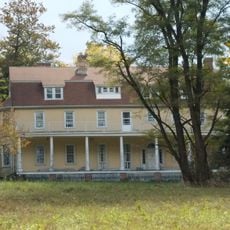
Hardman Philips House
13.4 km
Frost Entomological Museum
20.8 km
John Gray House
12.4 km
College Heights Historic District
20.3 km
Holmes-Foster-Highlands Historic District
21.7 km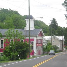
Unionville Historic District
15.5 km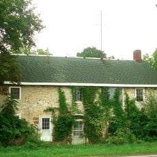
Abraham Elder Stone House
14 km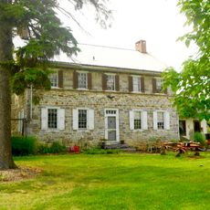
George Wilson Homestead
17.9 km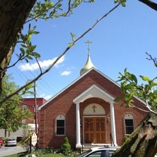
Церковь Святой Троицы
21.4 km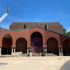
Palmer Museum at the Arboretum
20.2 km
Discovery Space
19.6 km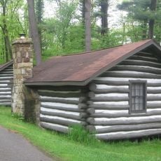
Black Moshannon State Park Family Cabin District
359 m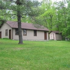
Black Moshannon State Park Maintenance District
1.3 kmReviews
Visited this place? Tap the stars to rate it and share your experience / photos with the community! Try now! You can cancel it anytime.
Discover hidden gems everywhere you go!
From secret cafés to breathtaking viewpoints, skip the crowded tourist spots and find places that match your style. Our app makes it easy with voice search, smart filtering, route optimization, and insider tips from travelers worldwide. Download now for the complete mobile experience.

A unique approach to discovering new places❞
— Le Figaro
All the places worth exploring❞
— France Info
A tailor-made excursion in just a few clicks❞
— 20 Minutes