
Redfield City Hall, 1970 building housing the government of the city of Redfield, Arkansas
Location: Redfield
Inception: 1970
Architectural style: mid-century modern
Floors above the ground: 1
Made from material: concrete block
Address: 212 North Brodie Street, Redfield, Arkansas 72132 72132 72132
GPS coordinates: 34.44717,-92.18422
Latest update: March 3, 2025 12:17

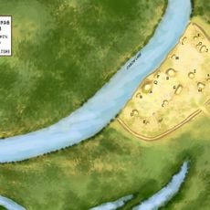
Plum Bayou Mounds Archeological State Park
24.8 km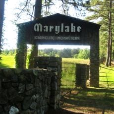
Marylake Carmelite Monastery
17.6 km
Plantation Agriculture Museum
28.8 km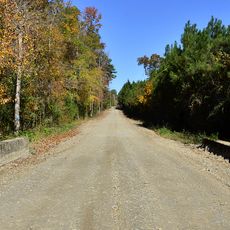
Dollarway Road
1.1 km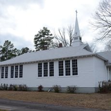
Oak Grove School
17.1 km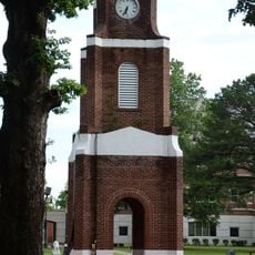
W.E. O'Bryant Bell Tower
27.3 km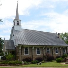
Alls Souls Church
29.2 km
Caldwell Hall
27.4 km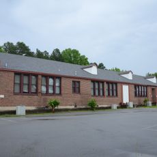
Redfield School Historic District
176 m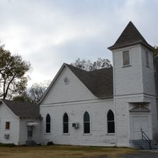
Sherrill Methodist Episcopal Church, South
22.3 km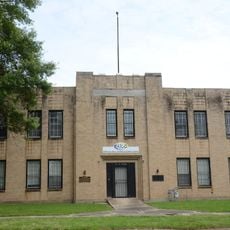
National Guard Armory-Pine Bluff
29.2 km
Plum Bayou Homesteads
11.9 km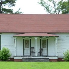
McKenzie House
28.7 km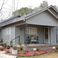
Koon House No. 1
27.5 km
Hanger Cotton Gin
27.1 km
Koon House No. 6
28.4 km
Trulock-Cook House
29.1 km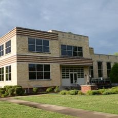
John Brown Watson Memorial Library Building
27.1 km
Keo Commercial Historic District
23.4 km
Trulock-Gould-Mullis House
29.1 km
R.E. Lee House
28.9 km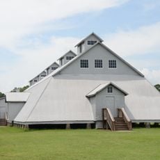
Seed Warehouse No. 5
29.1 km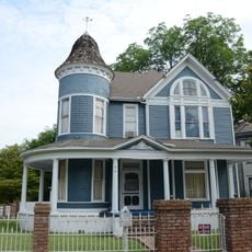
Roth-Rosenzweig House
29.2 km
Glaser-Kelly House
25.1 km
Tucker School
21 km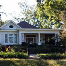
Dr. John L. Butler House
25.2 km
Walter B. Sorrells Cottage
27.1 km
White Hall Museum
20.1 kmReviews
Visited this place? Tap the stars to rate it and share your experience / photos with the community! Try now! You can cancel it anytime.
Discover hidden gems everywhere you go!
From secret cafés to breathtaking viewpoints, skip the crowded tourist spots and find places that match your style. Our app makes it easy with voice search, smart filtering, route optimization, and insider tips from travelers worldwide. Download now for the complete mobile experience.

A unique approach to discovering new places❞
— Le Figaro
All the places worth exploring❞
— France Info
A tailor-made excursion in just a few clicks❞
— 20 Minutes