
Iron Springs Shelter No. 2
Iron Springs Shelter No. 2
Location: Jessieville
Part of: Iron Springs Recreation Area
GPS coordinates: 34.76139,-93.06917
Latest update: April 6, 2025 14:33

Bill Clinton Boyhood Home
25.7 km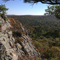
Flatside Wilderness
15.6 km
Jack Tar Hotel and Bathhouse
25.9 km
Mountainaire Hotel Historic District
25.8 km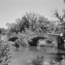
South Fork Bridge
22.2 km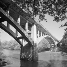
Fourche LaFave River Bridge
22.5 km
Stitt House
25.9 km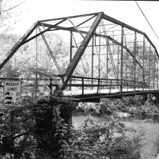
Wallace Bridge
19.5 km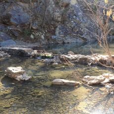
Iron Springs Recreation Area
0 m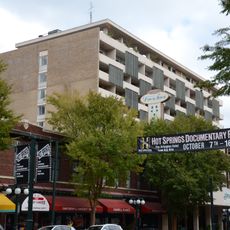
Hill Wheatley Downtowner Motor Inn
27.2 km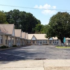
Parkway Courts Historic District
26.2 km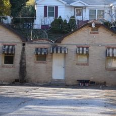
Bellaire Court Historic District
26.4 km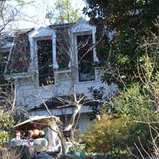
Passmore House
25.9 km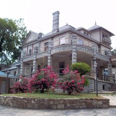
Taylor Rosamond Motel Historic District
26.7 km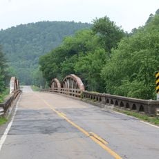
South Fourche LaFave River Bridge
13 km
Perry Plaza Court Historic District
25.8 km
Wildwood
26 km
Camp House
24.8 km
Fordyce House
25.9 km
Cottage Courts Historic District
26.5 km
Lynwood Tourist Court Historic District
25.9 km
Peter Dierks Joers House
24.4 km
Camp Ouachita Girl Scout Camp Historic District
25.7 km
Fordyce-Ricks House Historic District
25.2 km
Hawks Schoolhouse
17.4 km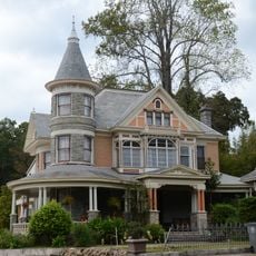
Short-Dodson House
26.1 km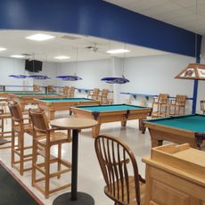
Liberty Lanes
13.8 km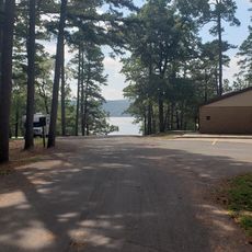
Carter Cove Beach
27 kmReviews
Visited this place? Tap the stars to rate it and share your experience / photos with the community! Try now! You can cancel it anytime.
Discover hidden gems everywhere you go!
From secret cafés to breathtaking viewpoints, skip the crowded tourist spots and find places that match your style. Our app makes it easy with voice search, smart filtering, route optimization, and insider tips from travelers worldwide. Download now for the complete mobile experience.

A unique approach to discovering new places❞
— Le Figaro
All the places worth exploring❞
— France Info
A tailor-made excursion in just a few clicks❞
— 20 Minutes