
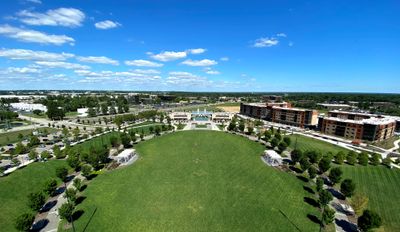
Summit Park, park in Blue Ash, Ohio, United States
Location: Blue Ash
Website: https://summitparkblueash.com
GPS coordinates: 39.24929,-84.38969
Latest update: March 10, 2025 17:24
Gerald B. and Beverley Tonkens House
6.4 km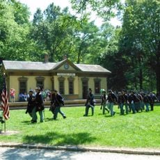
Heritage Village Museum
3.4 km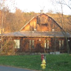
Gorman Heritage Farm
3 km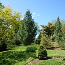
Stanley M. Rowe Arboretum
7 km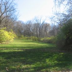
Benham Mound
6.9 km
Glendale Historic District
6.8 km
Spread Eagle Tavern–James D. Conrey House
6.6 km
Twelve Mile House
3 km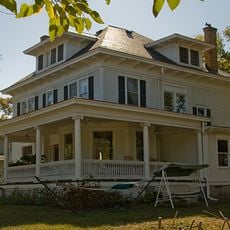
Charles H. Moore House
7.2 km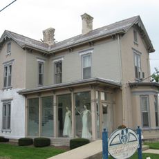
Blair House
3.5 km
Burchenal Mound
7.3 km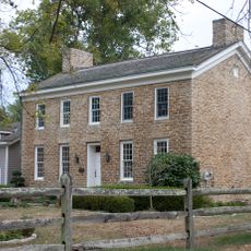
Elliott House
6.6 km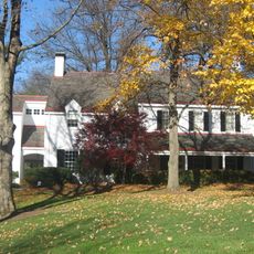
James Baxter House
7.3 km
Elmer Hess House
7.7 km
Josiah Kirby House
7.5 km
Yost Tavern
4 km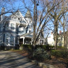
Village Historic District
7.4 km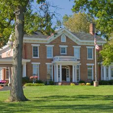
Riddle-Friend House
7.6 km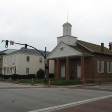
Universalist Church Historic District
3.8 km
Mathew Mound
4.8 km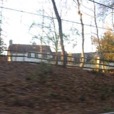
Gordon E. Pape House
5.4 km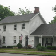
Wilder-Swaim House
3.5 km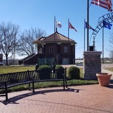
Mill & Dunn Historic District
6.1 km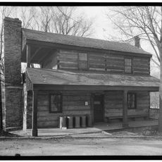
Kemper Log House
3.5 km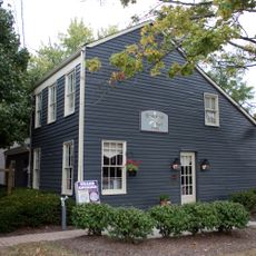
Montgomery Saltbox Houses
3.8 km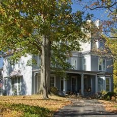
Luethstrom-Hurin House
7.6 km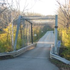
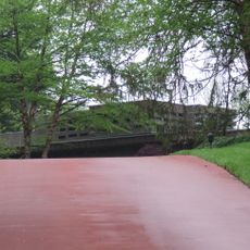
Blome Road Bridge
5.1 km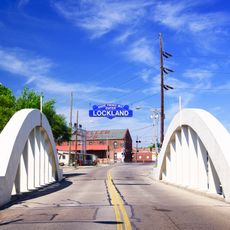
Benson Street Bridge
5.8 kmReviews
Visited this place? Tap the stars to rate it and share your experience / photos with the community! Try now! You can cancel it anytime.
Discover hidden gems everywhere you go!
From secret cafés to breathtaking viewpoints, skip the crowded tourist spots and find places that match your style. Our app makes it easy with voice search, smart filtering, route optimization, and insider tips from travelers worldwide. Download now for the complete mobile experience.

A unique approach to discovering new places❞
— Le Figaro
All the places worth exploring❞
— France Info
A tailor-made excursion in just a few clicks❞
— 20 Minutes