
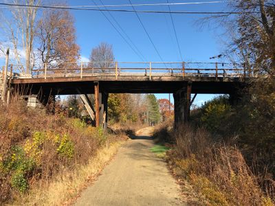
Christian Hill Road Bridge
Location: Cheshire County
GPS coordinates: 42.87011,-72.32262
Latest update: September 23, 2025 16:56
Monadnock Region
10.6 km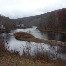
Ashuelot River
11.2 km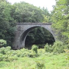
Stone Arch Bridge
7.5 km
Chesterfield Gorge Natural Area
8.3 km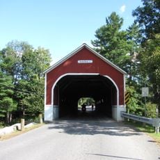
Sawyers Crossing Covered Bridge
3.4 km
Carleton Bridge
4.3 km
West Swanzey Covered Bridge
497 m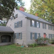
Sawyer Tavern
7.7 km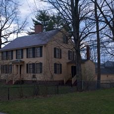
Wyman Tavern
7.1 km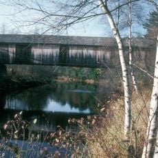
Slate Covered Bridge
2.9 km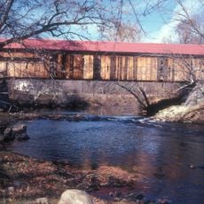
Coombs Covered Bridge
4.8 km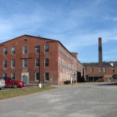
Beaver Mills
8 km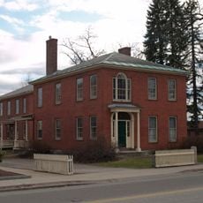
Colony House
7.9 km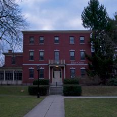
Elliot Mansion
7.2 km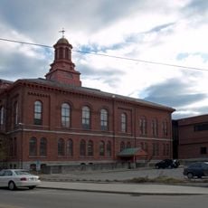
Cheshire County Courthouse
7.9 km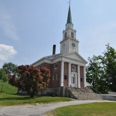
Winchester Memorial Church
11.9 km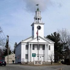
Troy Village Historic District
12.5 km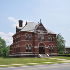
Conant Public Library
11.8 km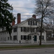
Dr. Daniel Adams House
7.1 km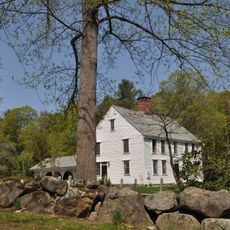
Noah Cooke House
6.2 km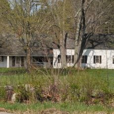
Lawrence Farm
11.5 km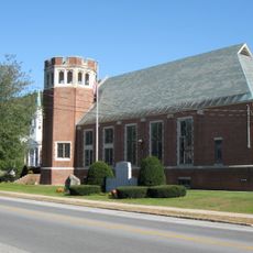
Winchester Town Hall
11.9 km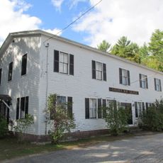
Golden Rod Grange No. 114
3.3 km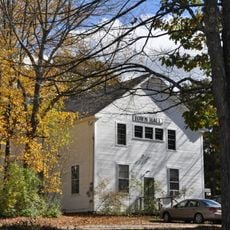
Richmond Town Hall
12.7 km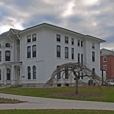
Dinsmoor-Hale House
7.4 km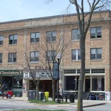
Colonial Theatre
7.8 km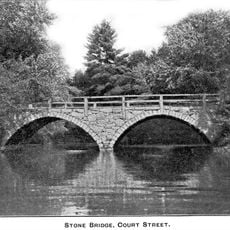
Old Stone Arch Bridge
10.3 km
Otter Brook Lake
11.1 kmReviews
Visited this place? Tap the stars to rate it and share your experience / photos with the community! Try now! You can cancel it anytime.
Discover hidden gems everywhere you go!
From secret cafés to breathtaking viewpoints, skip the crowded tourist spots and find places that match your style. Our app makes it easy with voice search, smart filtering, route optimization, and insider tips from travelers worldwide. Download now for the complete mobile experience.

A unique approach to discovering new places❞
— Le Figaro
All the places worth exploring❞
— France Info
A tailor-made excursion in just a few clicks❞
— 20 Minutes