
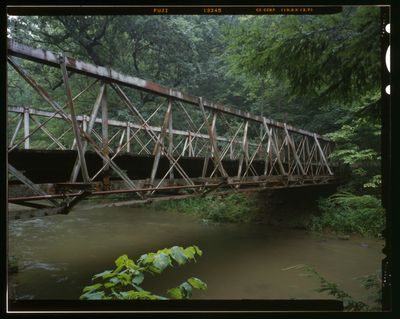
Falling Rock Camp Bridge, Pony truss bridge (out of service) in Licking County, Ohio, USA; Licking County, Ohio, USA
Location: Licking County
GPS coordinates: 40.17716,-82.30211
Latest update: September 23, 2025 16:56
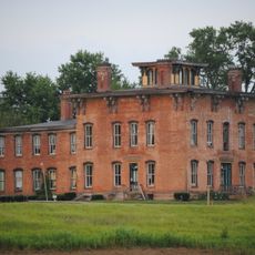
Prospect Place
25.2 km
Alligator Effigy Mound
20.7 km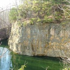
Blackhand Gorge State Nature Preserve
14.2 km
Dawes Arboretum
24.1 km
Flint Ridge State Memorial
21.1 km
Bryn Du Mansion
19.2 km
Midland Theatre
15.6 km
Welling Site
26.5 km
Adams-Gray House
30.2 km
St. Luke's Episcopal Church
22.2 km
Avery-Hunter House
22 km
Christ Church at the Quarry
24.2 km
Newark Earthworks
18.6 km
National Heisey Glass Museum
16.3 km
Home Building Association Bank
15.8 km
Knox County Courthouse
28.6 km
Longaberger Homestead
25.4 km
Longaberger Basket Building
13.2 km
East High Street Historic District
28.3 km
Daweswood House Museum
23.6 km
East Gambier Street Historic District
28.3 km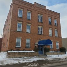
Vine Theatre
28.5 km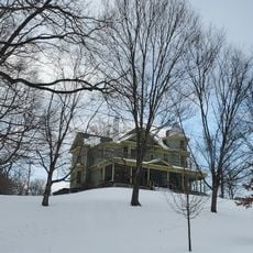
Kenyon College Palme house
23.7 km
Premiere Theatre 7
27.5 km
North Main-North Gay Streets Historic District
29 km
Mt Vernon & Knox County, Public Library Of
28.9 km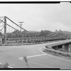
Dresden Suspension Bridge
26.5 km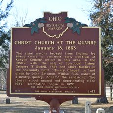
Christ Church at the Quarry January 18, 1863
24.2 kmReviews
Visited this place? Tap the stars to rate it and share your experience / photos with the community! Try now! You can cancel it anytime.
Discover hidden gems everywhere you go!
From secret cafés to breathtaking viewpoints, skip the crowded tourist spots and find places that match your style. Our app makes it easy with voice search, smart filtering, route optimization, and insider tips from travelers worldwide. Download now for the complete mobile experience.

A unique approach to discovering new places❞
— Le Figaro
All the places worth exploring❞
— France Info
A tailor-made excursion in just a few clicks❞
— 20 Minutes