
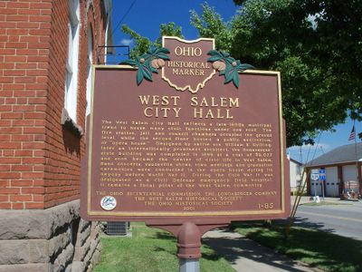
West Salem City Hall, Ohio historical marker 1-85
Location: Wayne County
Part of: Remarkable Ohio
GPS coordinates: 40.97170,-82.10947
Latest update: March 30, 2025 02:51
Oberlin College
37 km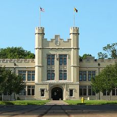
College of Wooster
23.1 km
Chippewa Lake Park
20.2 km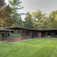
Weltzheimer/Johnson House
36.7 km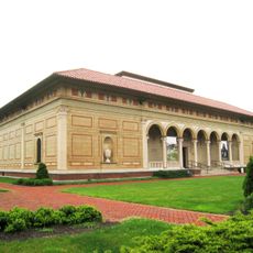
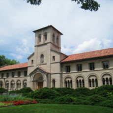
Allen Memorial Art Museum
37 km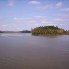
Charles Mill Lake
32.4 km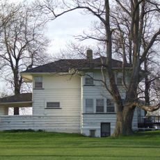
Mosher House
22.2 km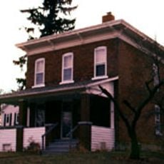
Wilson Bruce Evans House
36.4 km
Secrest Arboretum
26.5 km
Brown's Lake Bog
32.6 km
Tappan Square
36.9 km
Crittenden Farm
27.4 km
Northern Ohio Railway Museum
20.4 km
John Mercer Langston House
36.5 km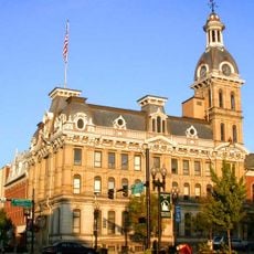
Wayne County Courthouse District
24 km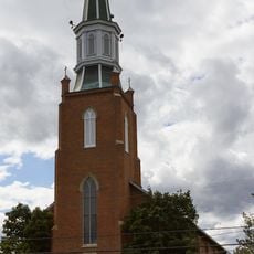
St. Martin's Catholic Church
31 km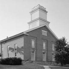
Congregational Church of Christ
37.1 km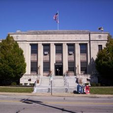
Ashland County Courthouse
20.9 km
Old St. Patrick's Church
24.3 km
Ezekiel B. Zimmerman Octagon House
29.6 km
Gregory House
27.3 km
Anderson Schoolhouse
25.5 km
Buehler's Towne Market
23.7 km
United Church of Huntington
17.5 km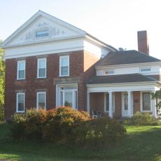
Carlos Avery House
28 km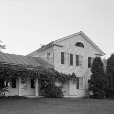
Darlon Allen House
18.2 km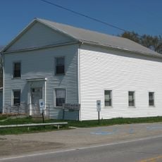
Huntington Grange
17.1 km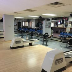
Strike Out Lanes
25.6 kmVisited this place? Tap the stars to rate it and share your experience / photos with the community! Try now! You can cancel it anytime.
Discover hidden gems everywhere you go!
From secret cafés to breathtaking viewpoints, skip the crowded tourist spots and find places that match your style. Our app makes it easy with voice search, smart filtering, route optimization, and insider tips from travelers worldwide. Download now for the complete mobile experience.

A unique approach to discovering new places❞
— Le Figaro
All the places worth exploring❞
— France Info
A tailor-made excursion in just a few clicks❞
— 20 Minutes