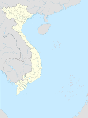
Long Hựu Đông, Landgemeinde in Vietnam
Location: Cần Đước
Elevation above the sea: 4 m
GPS coordinates: 10.48778,106.63556
Latest update: November 14, 2025 15:23

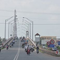
Binh Dien Bridge
24.2 km
Tan An Bridge
25.3 km
Cầu Ông Thìn
18.2 km
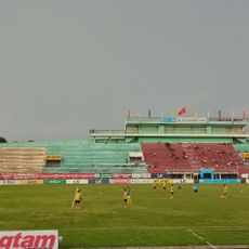
Long An Stadium
25.4 km
Cầu Thủ Bộ
6.4 km
Nhà Ngoại Riô
16.7 km
River Viewpoint
16.4 km
Vàm Sát
17.5 km
Nhà trăm cột
6.1 km
DBW Company
17.8 km
Bún tôm
14.2 km
Scenic viewpoint
22.6 km
Scenic viewpoint
19.6 km
Scenic viewpoint
23.7 km
Dong Dien Bridge
20.9 km
Đất c Phương
15.5 km
Rừng Ngập Mặn Vàm Sát
17.5 km
Khảo Cổ Gò Thạnh
22.1 km
Mộ Cổ Hoà Bình
12.2 km
Lăng Hoàng Gia
12.6 km
Đài Tưởng Niệm Liệt Sĩ Quận 8
24.4 km
Khu Di Tích Lịch Sử Gò Chùa
19.7 km
Khu di tích lịch sử Vàm Nhựt Tảo
15.2 km
Tượng đài anh hùng Trương Định
15 km
Bia tưởng niệm liệt sỹ huyện Tân Trụ
14.4 km
Bia tưởng niệm Mũi Tàu
12.1 km
Đài tưởng niệm chiến sĩ Rạch Kiến
12 km
Bia chiến thắng Xóm Chùa
6.1 kmReviews
Visited this place? Tap the stars to rate it and share your experience / photos with the community! Try now! You can cancel it anytime.
Discover hidden gems everywhere you go!
From secret cafés to breathtaking viewpoints, skip the crowded tourist spots and find places that match your style. Our app makes it easy with voice search, smart filtering, route optimization, and insider tips from travelers worldwide. Download now for the complete mobile experience.

A unique approach to discovering new places❞
— Le Figaro
All the places worth exploring❞
— France Info
A tailor-made excursion in just a few clicks❞
— 20 Minutes
