Đắk Tô, rural district of Kon Tum, Vietnam
Location: Kon Tum
Elevation above the sea: 636 m
GPS coordinates: 14.70000,107.80833
Latest update: March 9, 2025 14:02

Golden Bridge
145.5 km
Hoi An Ancient Town
142.5 km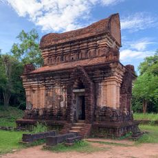
Mỹ Sơn
123.1 km
Marble Mountains
152.6 km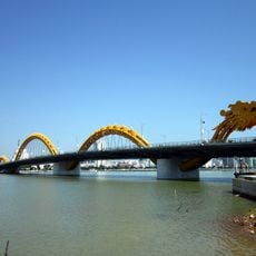
Dragon River Bridge
158 km
Măng Đen
53.1 km
Japanese Bridge
142.3 km
Da Nang Cathedral
158.5 km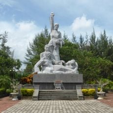
Sơn Mỹ Memorial
127.7 km
Museum of Cham Sculpture
157.7 km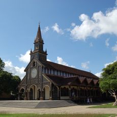
Kontum Cathedral
45.3 km
Sa Huỳnh
135.9 km
Hòa Xuân Stadium
151.3 km
Tran Thi Ly Bridge
157 km
Nguyen Van Troi Bridge
157 km
Thap Duong Long
154 km
Ba Na Hills Cable Car
149.6 km
Pleiku Stadium
83 km
Virachey National Park
96.8 km
Zone 5 Military Museum
156.4 km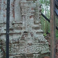
Đồng Dương
120.7 km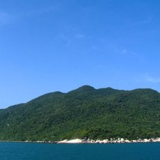
Cu Lao Cham Marine Park
87.7 km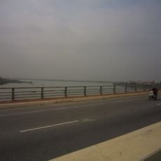
Tiên Sơn Bridge
155.6 km
Museum of Trade Ceramics
142.5 km
Dak Bla Bridge
44.6 km
Cong To Vo
157.8 km
Phou N'droni
75.2 km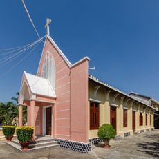
Evangelical Church of Hội An
142.4 kmReviews
Visited this place? Tap the stars to rate it and share your experience / photos with the community! Try now! You can cancel it anytime.
Discover hidden gems everywhere you go!
From secret cafés to breathtaking viewpoints, skip the crowded tourist spots and find places that match your style. Our app makes it easy with voice search, smart filtering, route optimization, and insider tips from travelers worldwide. Download now for the complete mobile experience.

A unique approach to discovering new places❞
— Le Figaro
All the places worth exploring❞
— France Info
A tailor-made excursion in just a few clicks❞
— 20 Minutes