
Op den Aenhof, protected area (BR38) in Heusden-Zolder en Houthalen-Helchteren, Belgium
Location: Heusden-Zolder
Location: Houthalen-Helchteren
Inception: 1997
GPS coordinates: 51.03069,5.34275
Latest update: May 28, 2025 04:26
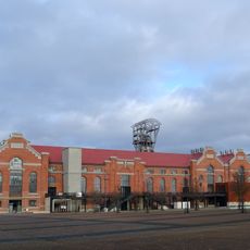
Coal Mine of Zolder
1.3 km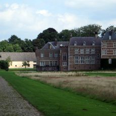
Vogelsanck Castle
3 km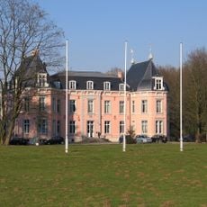
Meylandt Castle
4.4 km
Ter Dolen
4.9 km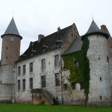
Kasteel Ter Dolen
5 km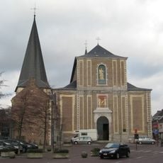
Sint-Quintinuskerk
4.7 km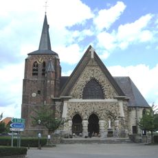
Sint-Martinuskerk
2 km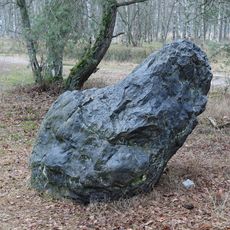
Grauwe Steen
4.6 km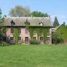
Domherenhuis
1.4 km
Sint-Jozefskerk
4.1 km
Sint-Hubertus en Vincentiuskerk
2.2 km
De Franse Kroon, Zonhoven
4.4 km
Oud-gemeentehuis van Zonhoven
4.7 km
Sint-Willibrorduskerk
4.3 km
Kapel van Teneikenen
3.4 km
Heilig Hartkerk
4.7 km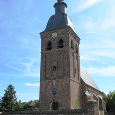
Onze-Lieve-Vrouw-van-Zeven-Weeënkerk
3 km
Genaderse Molen
4.1 km
Sint-Lambertuskerk
3.8 km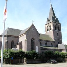
Sint-Trudokerk
4 km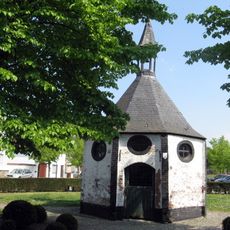
Onze-Lieve-Vrouwkapel
5.1 km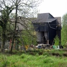
Bookmolen
5.3 km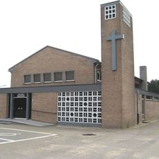
Sint-Eligiuskerk
4.1 km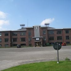
Museum Ons Mijnverleden
3.8 km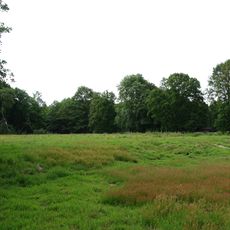
Kolverenschans
2.5 km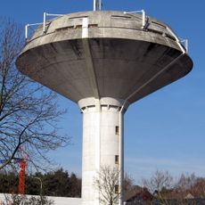
Water tower
5.1 km
Meylandtmolen
4.7 km
Sint-Jozef Werkmankerk
3.2 kmReviews
Visited this place? Tap the stars to rate it and share your experience / photos with the community! Try now! You can cancel it anytime.
Discover hidden gems everywhere you go!
From secret cafés to breathtaking viewpoints, skip the crowded tourist spots and find places that match your style. Our app makes it easy with voice search, smart filtering, route optimization, and insider tips from travelers worldwide. Download now for the complete mobile experience.

A unique approach to discovering new places❞
— Le Figaro
All the places worth exploring❞
— France Info
A tailor-made excursion in just a few clicks❞
— 20 Minutes