
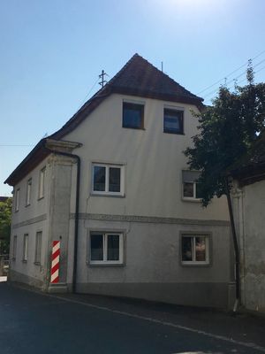
Bauernanwesen, Wohnhaus, zweigeschossiger Halbwalmdachbaumit Eckpilastern und Gurtgesims, bezeichnet „1837“
Location: Höchstadt an der Aisch
Address: Greuther Straße 4; Greuther Straße 6; Nähe Greuther Straße
GPS coordinates: 49.76063,10.89527
Latest update: April 1, 2025 11:21
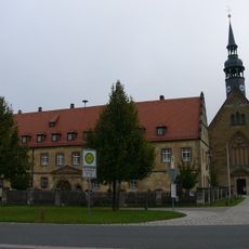
Zisterzienserinnenkloster Schlüsselau
3.6 km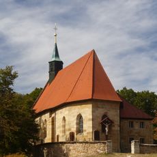
Wallfahrtskirche
4.3 km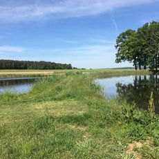
Langenbachgrund und Haarweiherkette
3.8 km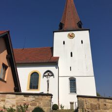
Chorturmkirche
3.6 km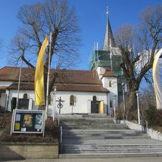
St. Laurentius
4.6 km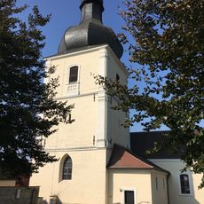
St. Leonhard
67 m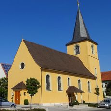
St. Antonius Abbas
4.4 km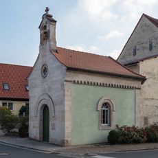
Kapelle
2.2 km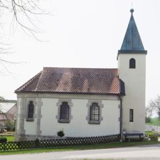
Katholische Kapelle St. Marien
4.2 km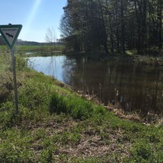
Weiherkette nördlich Bösenbechhofen
3.9 km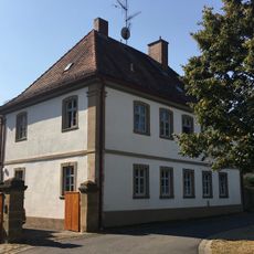
Pfarrhaus
3.6 km
Langenbachgrund und Haarweiherkette
3.5 km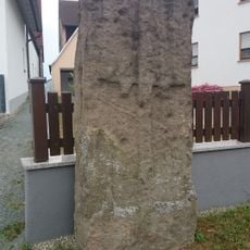
Gedenkstein
3.9 km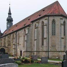
Pfarrkirche
3.6 km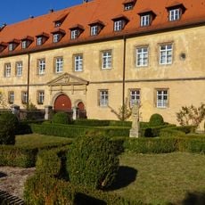
Klostergebäude
3.5 km
Scheune
4.4 km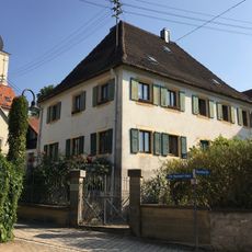
Wohnhaus
22 m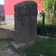
Grenzstein
3.6 km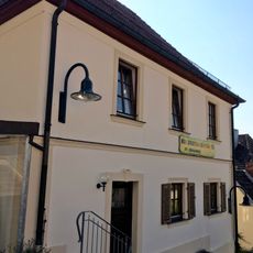
Wohnhaus, heute Kindergarten
45 m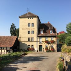
Kunstmühle
3.5 km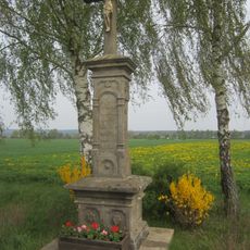
Bildstock in Uttstadt
4.4 km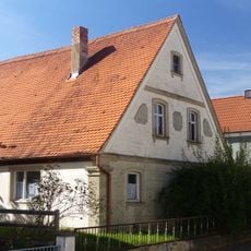
Bauernhaus
3.8 km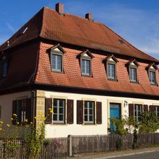
Forstamt
3.5 km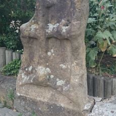
Gedenkstein
3.8 km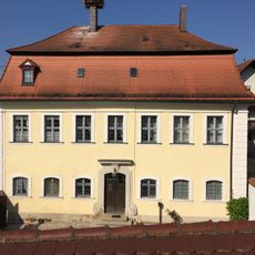
Pfarrhof, ehemaliges Amtshaus
64 m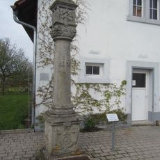
Marter in Lauf
4.6 km
Bauernhaus
3.8 km
Bauernhaus
3.5 kmReviews
Visited this place? Tap the stars to rate it and share your experience / photos with the community! Try now! You can cancel it anytime.
Discover hidden gems everywhere you go!
From secret cafés to breathtaking viewpoints, skip the crowded tourist spots and find places that match your style. Our app makes it easy with voice search, smart filtering, route optimization, and insider tips from travelers worldwide. Download now for the complete mobile experience.

A unique approach to discovering new places❞
— Le Figaro
All the places worth exploring❞
— France Info
A tailor-made excursion in just a few clicks❞
— 20 Minutes