
27. und 44. Gemeindeschule Wilhelmstraße 116-117, cultural heritage site in Berlin
Location: Friedrichshain-Kreuzberg
GPS coordinates: 52.50406,13.38574
Latest update: December 5, 2025 01:19
Topography of Terror
275 m
Stiftung Flucht, Vertreibung, Versöhnung
278 m
Europahaus
278 m
Deutschlandhaus
278 m
Excelsiorhaus
109 m
Saint Clement Church
98 m
Rose-Theater
337 m
Wohnbebauung Hedemannstraße
252 m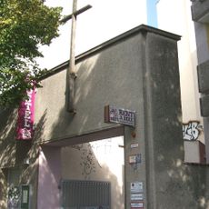
Exerzitienzentrum der Göttlichen Barmherzigkeit für die Reevangelisation
153 m
Postamt SW 11
334 m
Askanisches Gymnasium
346 m
Hotel Angleterre
364 m
Topography of Terror, Library
334 m
Mural (James Bullough & Telmo Miel)
359 m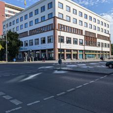
Institute for Urban Design of the German Academy of Urban Design and Planning, Library
236 m
Deutsche Gesellschaft für Mauerwerks- und Wohnungsbau
302 m
Head
347 m
Wohnhaus & Mietshaus Kochstraße 1 & 2 & 3 & 4 Wilhelmstraße 36 & 37 & 38
255 m
Kath. St.-Clemens-Kirche und Gesellenhospiz
93 m
Haus Merkur
298 m
Wohn- und Geschäftshäuser Hedemannstraße 11-14, 25
285 m
Büro- und Fabrikgebäude Schöneberger Straße 3
373 m
Zellen bzw. Keller der Gebäude der Geheimen Staatspolizei und der Reichsführung der SS Niederkirchnerstraße 8
328 m
Akzisemauer
162 m
One World-Bär
352 m
Mural, Work of art
374 m
Mural, Work of art
357 m
Mural, Work of art
359 mReviews
Visited this place? Tap the stars to rate it and share your experience / photos with the community! Try now! You can cancel it anytime.
Discover hidden gems everywhere you go!
From secret cafés to breathtaking viewpoints, skip the crowded tourist spots and find places that match your style. Our app makes it easy with voice search, smart filtering, route optimization, and insider tips from travelers worldwide. Download now for the complete mobile experience.

A unique approach to discovering new places❞
— Le Figaro
All the places worth exploring❞
— France Info
A tailor-made excursion in just a few clicks❞
— 20 Minutes