
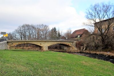
Mandau bridge, road bridge in Mittelherwigsdorf
Location: Mittelherwigsdorf
GPS coordinates: 50.91495,14.75004
Latest update: September 23, 2025 16:56

Kirche Hörnitz
1.5 km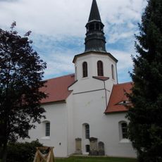
Church Mittelherwigsdorf
771 m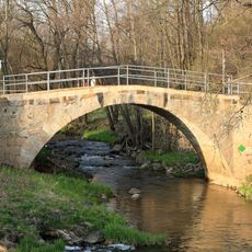
Bridge Mühlgraben
1.3 km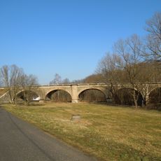
Viaduct Mandau
559 m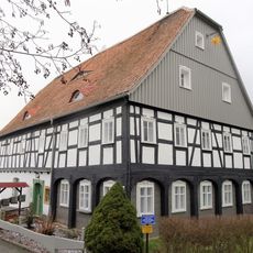
Kleine Seite 26
1.6 km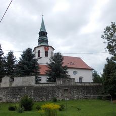
Zittauer Straße 15
792 m
Ernst-Thälmann-Straße 3
1.5 km
Hörnitzer Straße 5
99 m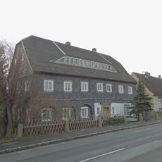
Zittauer Straße 17
1.6 km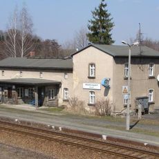
Mittelherwigsdorf station building
1.1 km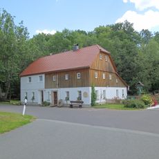
Zur Felsenmühle 10
1.3 km
Zittauer Straße 23
1.7 km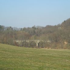
Viaduct Schülertal
985 m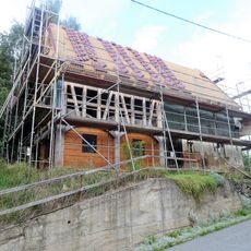
Kleine Seite 34
1.4 km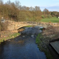
Bridge Zur Felsenmühle
1.3 km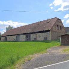
Bahnhofstraße 2
1.1 km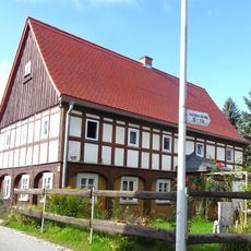
Hörnitzer Straße 12
147 m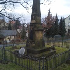
Memorial Zittauer Straße
689 m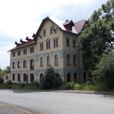
Hainewalder Straße 33; 35
883 m
Hörnitzer Straße 13
163 m
Hörnitzer Straße 3
79 m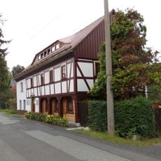
Hauptstraße 79
262 m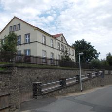
Hauptstraße 50
633 m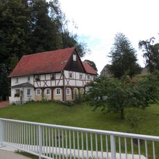
Hauptstraße 37
1.1 km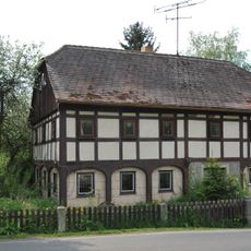
Hainewalder Straße 3
65 m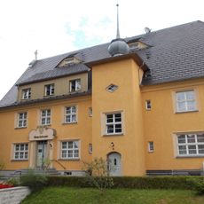
Am Gemeindeamt 7; 9
1 km
Böschung am Altersheim
855 m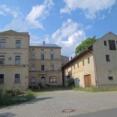
Paul-Teichgräber-Straße 11
1.6 kmReviews
Visited this place? Tap the stars to rate it and share your experience / photos with the community! Try now! You can cancel it anytime.
Discover hidden gems everywhere you go!
From secret cafés to breathtaking viewpoints, skip the crowded tourist spots and find places that match your style. Our app makes it easy with voice search, smart filtering, route optimization, and insider tips from travelers worldwide. Download now for the complete mobile experience.

A unique approach to discovering new places❞
— Le Figaro
All the places worth exploring❞
— France Info
A tailor-made excursion in just a few clicks❞
— 20 Minutes