
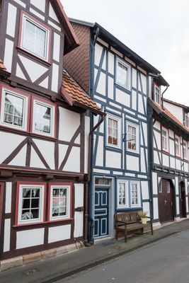
Haus Oberste Straße 48, هيكل معماري في باد زودن-آلندورف، ألمانيا
Location: Bad Sooden-Allendorf
Address: Oberste Straße 48
GPS coordinates: 51.27279,9.97842
Latest update: March 7, 2025 01:33

Schloss Rothestein
3.1 km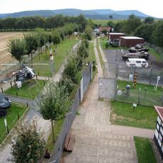
Grenzmuseum Schifflersgrund
1.7 km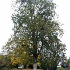
Linde am Brunnen vor dem Tore
310 m
Schifflersgrund
1.7 km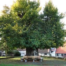
Hitzeröder Dorflinde
4 km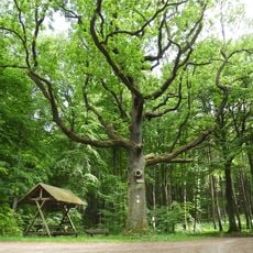
Jägereiche bei Bad Sooden-Allendorf
3.7 km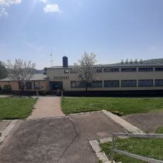
Sportinternat Bad Sooden-Allendorf
599 m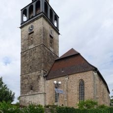
St. Crucis-Kirche Bad Sooden-Allendorf
380 m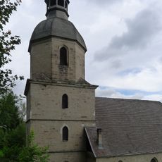
St. Marien
1.3 km
Stockmachermuseum Lindewerra
4.9 km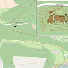
Burgruine Schnepfenburg
4.7 km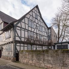
Hochzeitshaus
271 m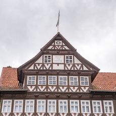
Kirchstraße 29
311 m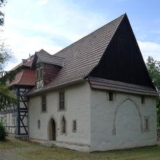
Heilig-Geist-Kapelle
597 m
Steinernes Haus
260 m
Tourist Information
1 km
Röhrsberg - Hasenwinkel - Mühlberg
4.9 km
Margaretenkirche Wahlhausen
2.3 km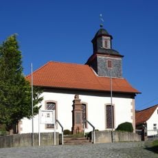
Versöhnungskirche
3.5 km
Evangelische Kirche Albungen
4.9 km
Evangelische Kirche
3.2 km
St. Nikolai
3.6 km
Evangelische Kirche
4.8 km
Haus Hohlgasse 5
236 m
Roßkopf Observation Tower
4.6 km
Werra- und Wehretal
3.8 km
Södertor
983 m
Ev. Kirche
3.3 kmVisited this place? Tap the stars to rate it and share your experience / photos with the community! Try now! You can cancel it anytime.
Discover hidden gems everywhere you go!
From secret cafés to breathtaking viewpoints, skip the crowded tourist spots and find places that match your style. Our app makes it easy with voice search, smart filtering, route optimization, and insider tips from travelers worldwide. Download now for the complete mobile experience.

A unique approach to discovering new places❞
— Le Figaro
All the places worth exploring❞
— France Info
A tailor-made excursion in just a few clicks❞
— 20 Minutes