
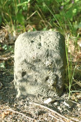
Grenzstein, هيكل معماري في ألمانيا
Location: Offenbach
Address: Senefelderstraße
GPS coordinates: 50.08362,8.76526
Latest update: March 2, 2025 23:58
Wetterpark Offenbach
1.5 km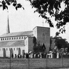
St. Josef
1.1 km
Starkenburgring, Offenbach
1.4 km
St. Konrad
787 m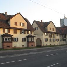
Milchhofsiedlung
1.3 km
St. Elisabeth
984 m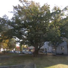
Jahn-Eiche
1.3 km
Blumenstraße 10
1.6 km
Taunusring 19
1.5 km
Senefelderstraße 55
1.3 km
Waldstraße 165
970 m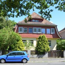
Blumenstraße 8
1.6 km
Ehemaliges MAN-Roland-Werk
1.5 km
Haus Waldstraße 98Waldstraße 100
1.5 km
Haus Taunusring 21
1.5 km
Bundesmonopolverwaltung für Branntwein
1.3 km
Buchrainweg 44/46
1.6 km
Starkenburgring 14–16
1.4 km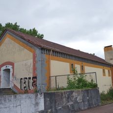
Brunnenweg 73, Offenbach am Main
1.6 km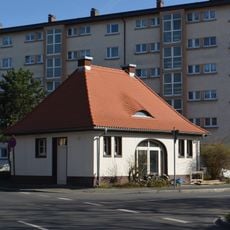
Friedrichsring 39
1.2 km
Weather-Park Offenbach Observation Tower
1.4 km
Haus Arndtstraße 26Starkenburgring 19
1.4 km
Haus Buchhügelallee 44
1.3 km
Haus Sprendlinger Landstraße 103
1.4 km
Ehemaliger städtischer Schlachthof
1.2 km
Verwaltungsgebäude der AOK Offenbach am Main
1.2 km
Haus Waldstraße 178
933 m
Hidden Hills Festival
1.2 kmReviews
Visited this place? Tap the stars to rate it and share your experience / photos with the community! Try now! You can cancel it anytime.
Discover hidden gems everywhere you go!
From secret cafés to breathtaking viewpoints, skip the crowded tourist spots and find places that match your style. Our app makes it easy with voice search, smart filtering, route optimization, and insider tips from travelers worldwide. Download now for the complete mobile experience.

A unique approach to discovering new places❞
— Le Figaro
All the places worth exploring❞
— France Info
A tailor-made excursion in just a few clicks❞
— 20 Minutes