
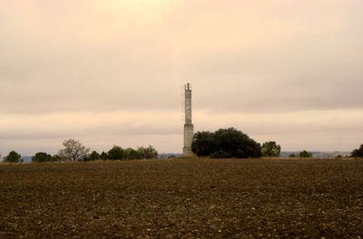
Lagar, triangulation station in Tudela de Duero, Spain
Location: Tudela de Duero
Elevation above the sea: 862.755 m
Height: 1.2 m
GPS coordinates: 41.55913,-4.58448
Latest update: March 3, 2025 03:10
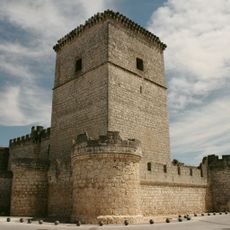
Portillo Castle
8.9 km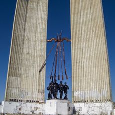
Monument to Onésimo Redondo
11.3 km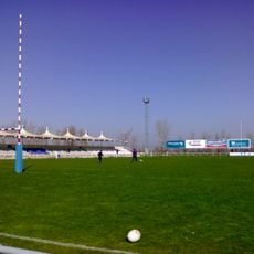
Estadio Pepe Rojo
13.5 km
Arcas Reales
13.9 km
Iglesia de San Juan Evangelista
11.2 km
Church of Nuestra Señora de la Asunción, Tudela de Duero
2.8 km
Fuente de la Salud
14.1 km
Church of the Dominican School, Valladolid
13.8 km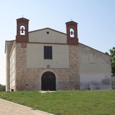
Ermita de San Isidro (Valladolid)
14 km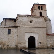
Church of Nuestra Señora de la Asunción, Laguna de Duero
11.8 km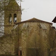
Church of San Martín de Tours
7 km
Iglesia de San Francisco de Asís
14 km
Muralla de Tudela de Duero
2.8 km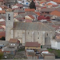
Iglesia de San Martín de Tours
9.2 km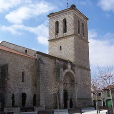
Church of San Juan Evangelista
9.6 km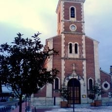
Iglesia de San Cristóbal
9.8 km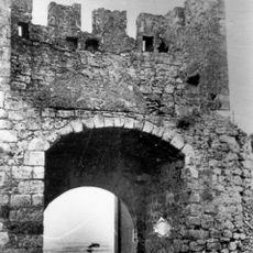
Muralla de Portillo
9 km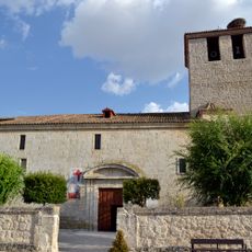
Iglesia de Santa María de la Concepción
13.6 km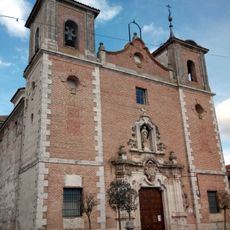
Iglesia de la Inmaculada Concepción
11.3 km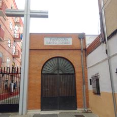
Parroquia Santo Toribio de Mogrovejo
14.2 km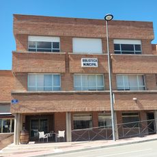
Biblioteca Pública Municipal de Portillo
9.4 km
Centro Cívico Zona Este
14.2 km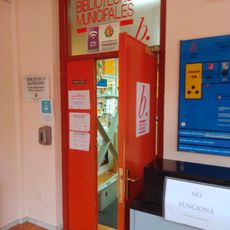
Biblioteca Pública Municipal - Blas Pajarero
14 km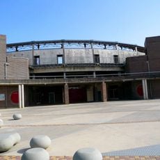
Bullring of Laguna de Duero
12.3 km
Centro Cívico Delicias, Valladolid
14 km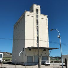
Silo de Portillo
9.6 km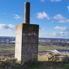
Águila
10.8 km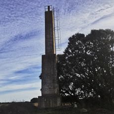
Lobo
5.7 kmReviews
Visited this place? Tap the stars to rate it and share your experience / photos with the community! Try now! You can cancel it anytime.
Discover hidden gems everywhere you go!
From secret cafés to breathtaking viewpoints, skip the crowded tourist spots and find places that match your style. Our app makes it easy with voice search, smart filtering, route optimization, and insider tips from travelers worldwide. Download now for the complete mobile experience.

A unique approach to discovering new places❞
— Le Figaro
All the places worth exploring❞
— France Info
A tailor-made excursion in just a few clicks❞
— 20 Minutes