
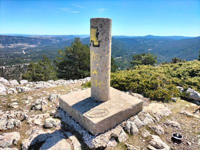
Mogorrita, triangulation station in Cuenca, Spain
Location: Cuenca
Elevation above the sea: 1,864.485 m
Height: 1.2 m
GPS coordinates: 40.34469,-1.77142
Latest update: March 6, 2025 03:56
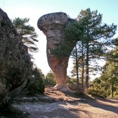
Ciudad Encantada
25.2 km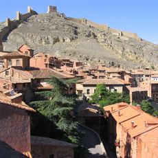
Albarracín city walls
28.6 km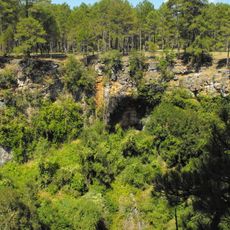
Serranía de Cuenca Natural Park
15 km
Castillo de Albarracín
28.6 km
Albarracín Cathedral
28.6 km
Tremedales de Orihuela
21.7 km
Torre Blanca
28.6 km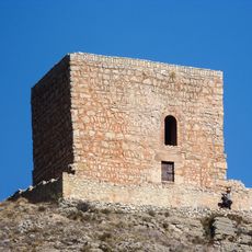
Torre del Andador
28.6 km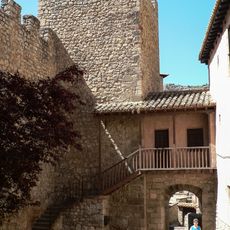
Portal del Agua
28.4 km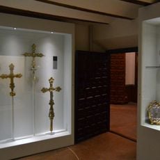
Museo Diocesano de Albarracín
28.5 km
Castil de Griegos
25.8 km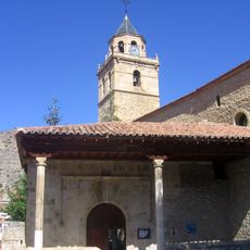
Church of Santos Justo y Pastor, Villar del Cobo
10 km
Muela Pinilla y del Puntal
26.6 km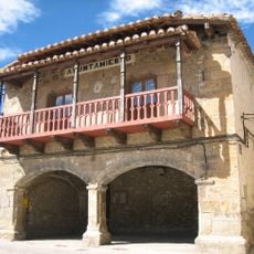
Terriente town hall
23.3 km
Ermita de San Abdón i San Senén de Toril
26.5 km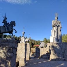
Monumento al Nacimiento del Río Tajo
6.8 km
Monumento a la Madera
18.9 km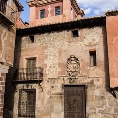
Casa de los Monterde
28.6 km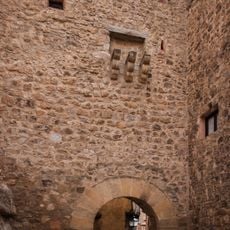
Portal de Molina
28.6 km
Plaza de toros de Tragacete
6.8 km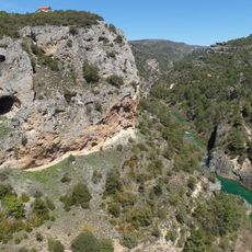
Ventano del Diablo
28.1 km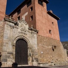
Episcopal palace of Albarracín
28.5 km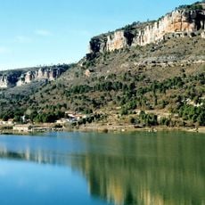
Pantano de La Toba
19.3 km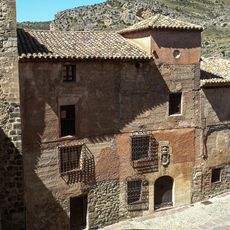
Casa Navarro Arzuriaga
28.6 km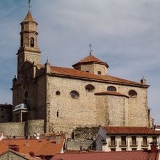
Iglesia de San Millán de la Cogolla
25.1 km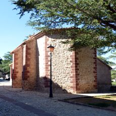
Hermitage of San Juan (Albarracín)
28.6 km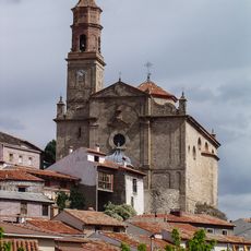
Conjunto Histórico de la Iglesia de San Millán de la Cogolla y de Orihuela del Tremedal
25.1 km
Franco Pérez de Liria House
25 kmReviews
Visited this place? Tap the stars to rate it and share your experience / photos with the community! Try now! You can cancel it anytime.
Discover hidden gems everywhere you go!
From secret cafés to breathtaking viewpoints, skip the crowded tourist spots and find places that match your style. Our app makes it easy with voice search, smart filtering, route optimization, and insider tips from travelers worldwide. Download now for the complete mobile experience.

A unique approach to discovering new places❞
— Le Figaro
All the places worth exploring❞
— France Info
A tailor-made excursion in just a few clicks❞
— 20 Minutes