
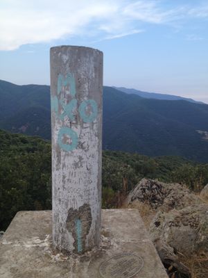
Roca Centella, triangulation station in Figaró-Montmany, Spain
Location: Figaró-Montmany
Elevation above the sea: 999.578 m
Height: 1.2 m
GPS coordinates: 41.71977,2.32228
Latest update: March 5, 2025 19:29
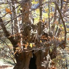
Castanyer de Can Cuc
2.8 km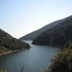
Pantà de Vallfornès
1.6 km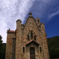
Sant Salvador de Terrades
2.4 km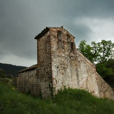
Sant Cristòfol de Monteugues
1.9 km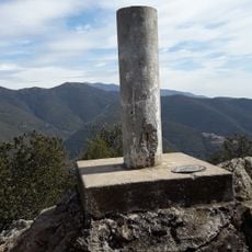
Roca Centella
13 m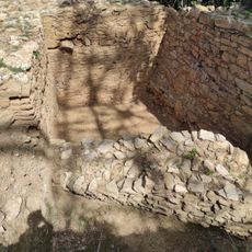
Poblat ibèric de Puig del Castell
2.4 km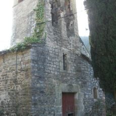
Sant Pere de Vallcàrquera
2.9 km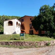
Rectoria de Vallcàrquera
2.5 km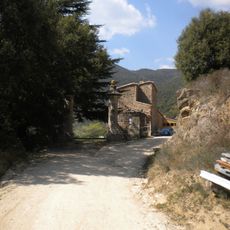
Vallfornès
2.2 km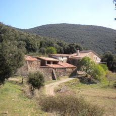
Can Quintana
2.6 km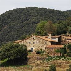
Can Cuc de la Muntanya
2.3 km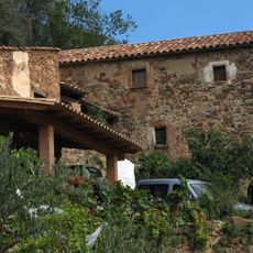
Can Puig (Figaró-Montmany)
2.2 km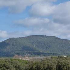
Turó de Santa Margarida
2.1 km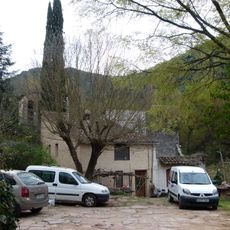
Can Xicola
2.9 km
El Mojó
833 m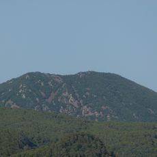
Turó Monner
2.3 km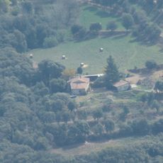
Can Mets
2.4 km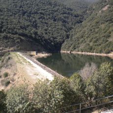
Presa de Vallfornès
1.6 km
Can Balder
2.5 km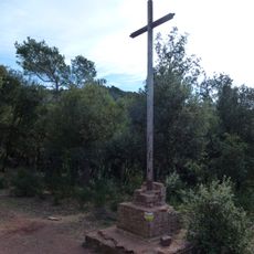
Creu de Can Plans
2.5 km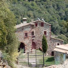
Can Valls
1.5 km
Can Pou
2.6 km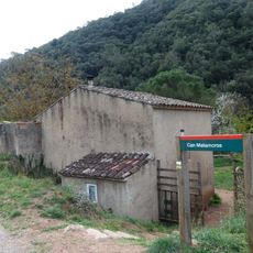
Can Pere Planes
2.5 km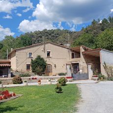
Can Domènec
2.8 km
Can Morera
2.5 km
Can Mestres
2.7 km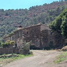
Can Rec
2.8 km
Can Torrent
2.9 kmVisited this place? Tap the stars to rate it and share your experience / photos with the community! Try now! You can cancel it anytime.
Discover hidden gems everywhere you go!
From secret cafés to breathtaking viewpoints, skip the crowded tourist spots and find places that match your style. Our app makes it easy with voice search, smart filtering, route optimization, and insider tips from travelers worldwide. Download now for the complete mobile experience.

A unique approach to discovering new places❞
— Le Figaro
All the places worth exploring❞
— France Info
A tailor-made excursion in just a few clicks❞
— 20 Minutes