
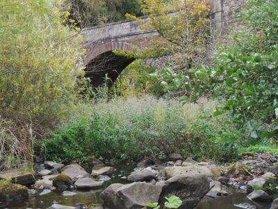
East Mills Bridge, bridge in Edinburgh, Scotland, UK, carries a minor road across Water of Leith
Location: City of Edinburgh
Location: Currie
GPS coordinates: 55.89960,-3.29482
Latest update: September 23, 2025 16:47
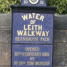
Water of Leith Walkway
3.2 km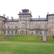
Craiglockhart Hydropathic
4 km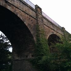
Slateford Aqueduct
3.9 km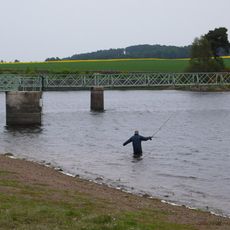
Harlaw Reservoir
3.4 km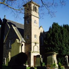
Colinton Parish Church
2.6 km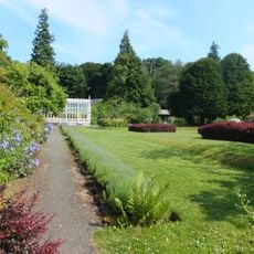
Malleny House and Garden
3.1 km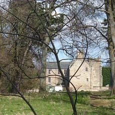
Woodhall House, Edinburgh
627 m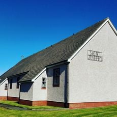
St Joseph's RC Church
3.4 km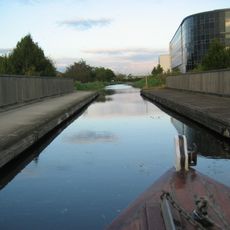
Scott Russell Aqueduct
2.6 km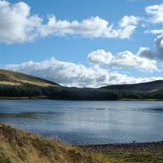
Bonaly Reservoir
2.7 km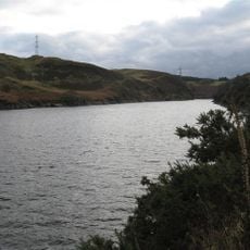
Torduff Reservoir
1.5 km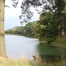
Clubbiedean Reservoir
1.6 km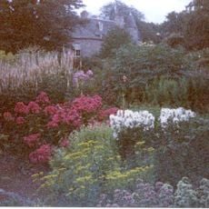
Malleny Garden
3.1 km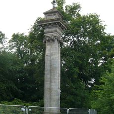
Covenanters' Monument
3.5 km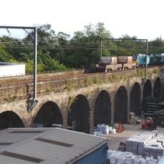
Slateford Viaduct
3.9 km
Redford Cavalry Barracks block
3.6 km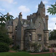
Edinburgh, Bonaly, 65 Bonaly Road, Bonaly Tower, Garden With Terraces, Steps And Statuary
2.2 km
Odeon Wester Hailes
1.7 km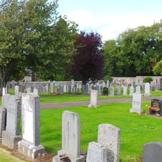
Currie, Kirkgate, Currie Kirk, Burial Ground
972 m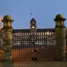
Gates and Gatepiers, Redford Cavalry Barracks, Colinton Road, Edinburgh
3.6 km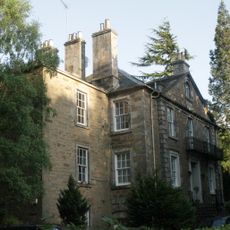
Spylaw House
2.3 km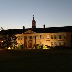
Edinburgh, Colinton Road, Merchiston Castle School, Main Building And Memorial Hall
2.9 km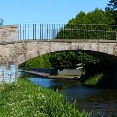
East Hermiston Bridge, Union Canal
2.6 km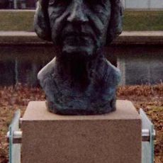
Bust of Naomi Mitchison
3.9 km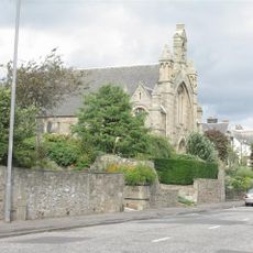
Juniper Green Parish Church
933 m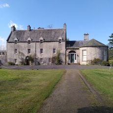
Malleny House
3.1 km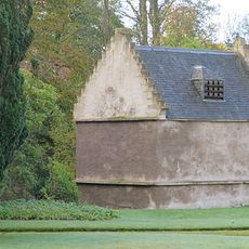
Edinburgh, Malleny House, Dovecot
3.1 km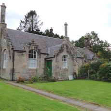
Currie, 7 And 9 Kirkgate, Ellenvale And Sycamore Cottages
984 mReviews
Visited this place? Tap the stars to rate it and share your experience / photos with the community! Try now! You can cancel it anytime.
Discover hidden gems everywhere you go!
From secret cafés to breathtaking viewpoints, skip the crowded tourist spots and find places that match your style. Our app makes it easy with voice search, smart filtering, route optimization, and insider tips from travelers worldwide. Download now for the complete mobile experience.

A unique approach to discovering new places❞
— Le Figaro
All the places worth exploring❞
— France Info
A tailor-made excursion in just a few clicks❞
— 20 Minutes