
573 Shields Road, building in Glasgow City, Scotland, UK
Location: Glasgow City
Location: Glasgow
GPS coordinates: 55.84220,-4.27619
Latest update: March 6, 2025 18:12


Pollokshields Library
242 m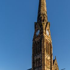
Pollokshields Parish Church
103 m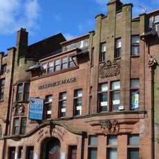
48, 50 Darnley Street, Printing Works
431 m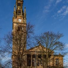
614-620 Shields Road, Pollokshields Free Church West
205 m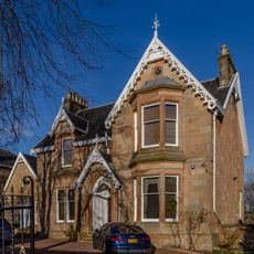
Ashbank, 174 Nithsdale Road, Pollokshields, Glasgow
252 m
Pollokshields, 21 Aytoun Road
361 m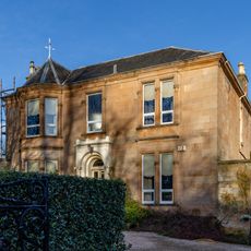
Pollokshields, 178 Nithsdale Road, Helenslea
295 m
Pollokshields, 19 Aytoun Road
358 m
264 Darnley Street
467 m
10 Leslie Road, Glasgow
233 m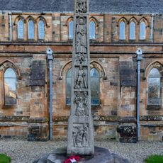
Albert Drive, War Memorial
90 m
50 Leven Street, 48, Glasgow
232 m
42, 44, 46 Leven Street, Glasgow
235 m
36, 38, 40 Leven Street, Glasgow
240 m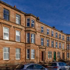
30, 32, 34 Leven Street, Glasgow
248 m
94 Nithsdale Road
464 m
150, 152, 154 Nithsdale Road
337 m
102 Nithsdale Road
449 m
609 Shields Road
79 m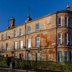
222, 224 Darnley Street
448 m
11 Melville Street, Pollokshields Public School
364 m
126, 128, 130, 132, 134 Nithsdale Road
365 m
136, 138, 140, 142, 144 Nithsdale Road
351 m
8 Leslie Road
207 m
116, 120, 122, 124 Nithsdale Road
380 m
Pollokshields, 241 Albert Drive, Pollokshields Primary School
98 m
256 Darnley Street
463 m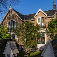
312 Albert Drive
246 mReviews
Visited this place? Tap the stars to rate it and share your experience / photos with the community! Try now! You can cancel it anytime.
Discover hidden gems everywhere you go!
From secret cafés to breathtaking viewpoints, skip the crowded tourist spots and find places that match your style. Our app makes it easy with voice search, smart filtering, route optimization, and insider tips from travelers worldwide. Download now for the complete mobile experience.

A unique approach to discovering new places❞
— Le Figaro
All the places worth exploring❞
— France Info
A tailor-made excursion in just a few clicks❞
— 20 Minutes