
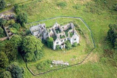
Lathallan, building in Falkirk, Scotland, UK
Location: Falkirk
Location: Muiravonside
GPS coordinates: 55.98330,-3.67992
Latest update: March 4, 2025 23:13
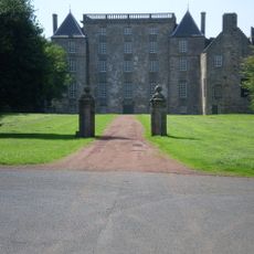
Kinneil House
3.9 km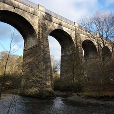
Avon Aqueduct
2.6 km
Muiravonside Country Park
2.9 km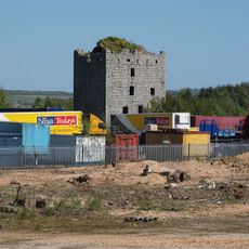
Almond Castle
786 m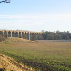
Avon Viaduct
3 km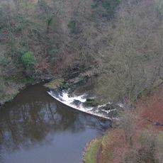
Avon Gorge, Falkirk
1.4 km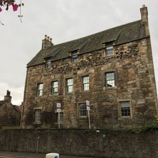
West Port House
4.5 km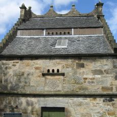
Falkirk, Redding, Dovecot Road, Westquarter Dovecot
4 km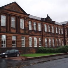
Abbotsgrange Middle School
4.3 km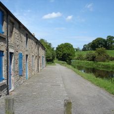
Woodcockdale, Union Canal, Cottages And Stables
3.1 km
Falkirk war memorial, east gate, west gate and wall
4.4 km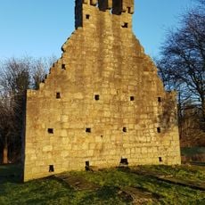
Kinneil Parish Church
3.8 km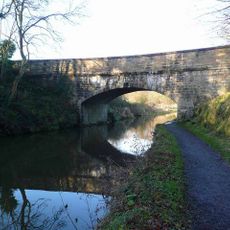
Bridge No. 49, Union Canal
2.2 km
Linlithgow, 293 High Street
4.5 km
Linlithgow, 275 High Street
4.5 km
Linlithgow, 177-179 High Street, The Crown Arms
4.7 km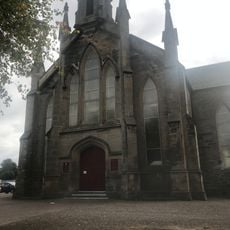
Brightons Parish Church, Main Road, Brightons
2.4 km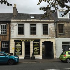
Linlithgow, 234 - 236 High Street
4.7 km
Linlithgow, 212-214 High Street
4.8 km
Linlithgow, 263a - 265 High Street
4.6 km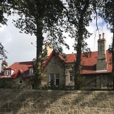
Glenavon House
3 km
Linlithgow, 257 - 259 High Street
4.6 km
Linlithgow, 213-215 High Street
4.7 km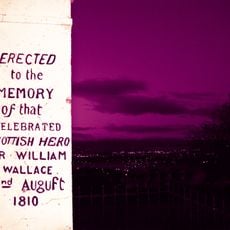
Wallacestone, Wallace's Stone
3.5 km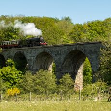
Avonbank Viaduct
1.6 km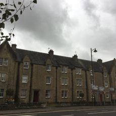
Linlithgow, 303, 305, 307, 309, 311, 313 High Street
4.4 km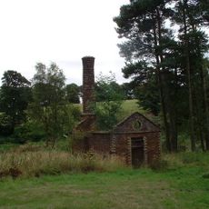
Lathallan, Power House
259 m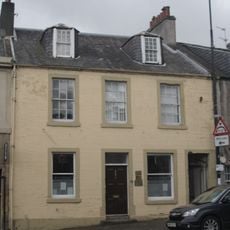
Linlithgow, 261 - 263 High Street
4.6 kmReviews
Visited this place? Tap the stars to rate it and share your experience / photos with the community! Try now! You can cancel it anytime.
Discover hidden gems everywhere you go!
From secret cafés to breathtaking viewpoints, skip the crowded tourist spots and find places that match your style. Our app makes it easy with voice search, smart filtering, route optimization, and insider tips from travelers worldwide. Download now for the complete mobile experience.

A unique approach to discovering new places❞
— Le Figaro
All the places worth exploring❞
— France Info
A tailor-made excursion in just a few clicks❞
— 20 Minutes