
Dovers Green Farmhouse, farmhouse in Reigate and Banstead, Surrey, UK
Location: Reigate and Banstead
GPS coordinates: 51.21555,-0.19994
Latest update: March 6, 2025 23:50
Woodhatch Place, Reigate
1.4 km
St John's, Redhill
2.2 km
Church of St Mary Magdalene
2.4 km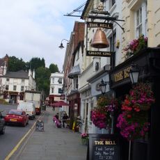
The Bell Public House
2.4 km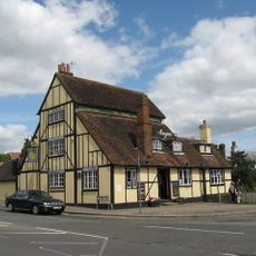
The Angel Inn
992 m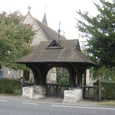
War Memorial Lych Gate, Emmanuel Church, Sidlow
882 m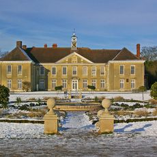
Reigate Priory
2.3 km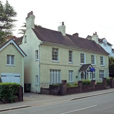
St Michael's
2 km
38, Bell Street
2.3 km
London Country Bus Services Limited Bus Garage With Attached Service Block
2.1 km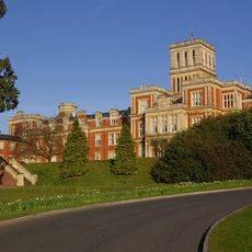
Royal Earlswood Hospital, Original Building (Blocks 13-21)
2.4 km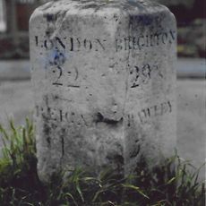
Milestone To North Of Sandcross Lane Corner
508 m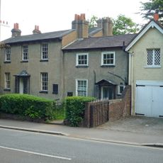
109A And 109B, Bell Street
2 km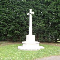
Reigate Cemetery Cross of Sacrifice
2.4 km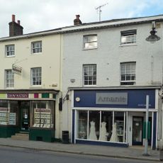
12 And 14, Bell Street
2.4 km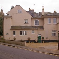
Cherchefelle
2.4 km
London Country Bus Services Limited, 1932 Office Block
2.1 km
Garden Wall Of Reigate Priory
2.3 km
49 And 51, Bell Street
2.3 km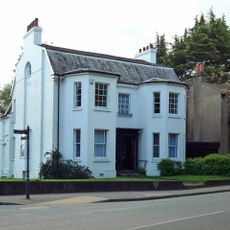
107, Bell Street
2.1 km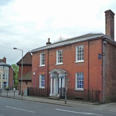
16 And 18, Bell Street
2.4 km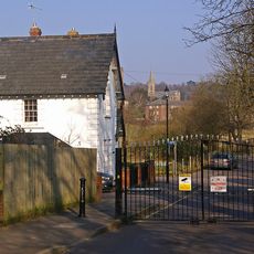
Two Lodges To Royal Earlswood Hospital
2.4 km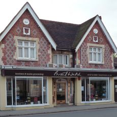
41, Bell Street
2.3 km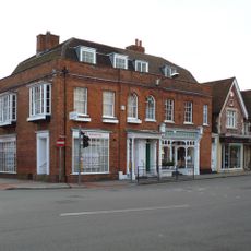
37 And 39, Bell Street
2.4 km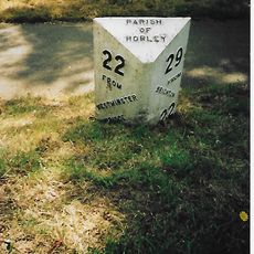
Milepost, Pentridge Common, Horley Road, 200m N of jct with A2044 (was B2035)
2.2 km
8 And 9, Pendleton Road
2.2 km
150, Dovers Green Road
167 m
Milestone, Reigate Road, ¼ mile S of Sidlow Bridge
1 kmReviews
Visited this place? Tap the stars to rate it and share your experience / photos with the community! Try now! You can cancel it anytime.
Discover hidden gems everywhere you go!
From secret cafés to breathtaking viewpoints, skip the crowded tourist spots and find places that match your style. Our app makes it easy with voice search, smart filtering, route optimization, and insider tips from travelers worldwide. Download now for the complete mobile experience.

A unique approach to discovering new places❞
— Le Figaro
All the places worth exploring❞
— France Info
A tailor-made excursion in just a few clicks❞
— 20 Minutes