
Milestone Approximately 350 Metres South East Of Junction With B4027
Milestone Approximately 350 Metres South East Of Junction With B4027, milestone in Holton, South Oxfordshire, Oxfordshire, UK
Location: Holton
Inception: 18 century
GPS coordinates: 51.75311,-1.14114
Latest update: March 3, 2025 02:32


Church of St Mary
685 m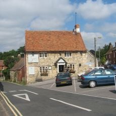
The Sun Inn
497 m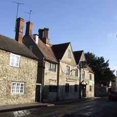
The King And Queen Public House
667 m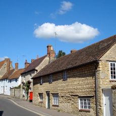
109, High Street
827 m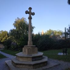
Wheatley War Memorial
714 m
Greystone
799 m
46, High Street
662 m
105, High Street
803 m
19, 21 And 23, Crown Road
934 m
Micheldene
617 m
38, High Street
644 m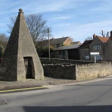
Lock Up
569 m
5, 7 And 9, Bell Lane
736 m
82, High Street
784 m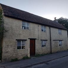
40, High Street
641 m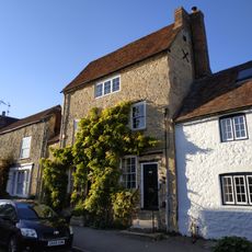
The Old Forge House
790 m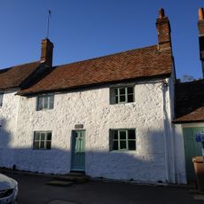
103, High Street
802 m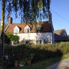
College Farm
856 m
Cromwell House
831 m
101, High Street
797 m
Mott House
795 m
90, High Street
804 m
55, High Street
660 m
97, High Street
779 m
The George Gallery
607 m
47, High Street
636 m
The Crest
620 m
Wall And Outbuildings Along Crown Road In Front Of Mulberry Court
936 mReviews
Visited this place? Tap the stars to rate it and share your experience / photos with the community! Try now! You can cancel it anytime.
Discover hidden gems everywhere you go!
From secret cafés to breathtaking viewpoints, skip the crowded tourist spots and find places that match your style. Our app makes it easy with voice search, smart filtering, route optimization, and insider tips from travelers worldwide. Download now for the complete mobile experience.

A unique approach to discovering new places❞
— Le Figaro
All the places worth exploring❞
— France Info
A tailor-made excursion in just a few clicks❞
— 20 Minutes