
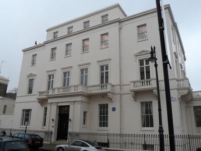
12 and 13 Upper Belgrave Street, City of Westminster, Greater London, SW1X
Location: City of Westminster
Address: 12 And 13, Upper Belgrave Street Sw1, City of Westminster, Greater London, SW1X
GPS coordinates: 51.49806,-0.14949
Latest update: March 16, 2025 08:51
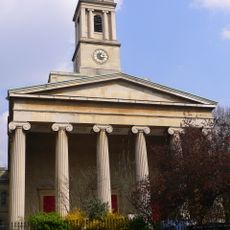
St Peter's Church, Eaton Square, London
32 m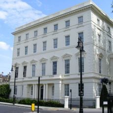
Seaford House
167 m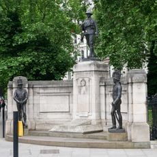
Rifle Brigade War Memorial
169 m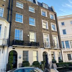
27, Chapel Street Sw1
190 m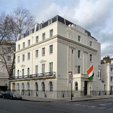
1 and 2 Upper Belgrave Street
148 m
Lioness and Lesser Kudu
153 m
16-46, Lower Belgrave Street Sw1
171 m
103–118 Eaton Square
105 m
16A, Wilton Street Sw1
8 m
25–36 Belgrave Square
171 m
3, Wilton Mews Sw1
116 m
6, Hobart Place Sw1
85 m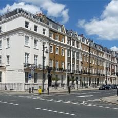
1–31 Eaton Place
154 m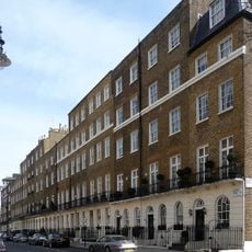
18-32, Chester Street Sw1
118 m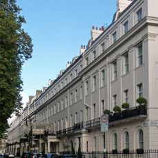
8-23 Eaton Square including 57 Lower Belgrave Street
174 m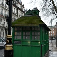
Cabmen's Shelter, Grosvenor Gardens
151 m
1–4 Hobart Place
89 m
2–7 Chester Street
175 m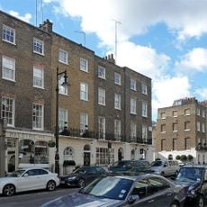
49-55, Lower Belgrave Street Sw1
176 m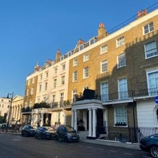
1-7, Eaton Square Sw1
124 m
1-3, Wilton Street Sw1
104 m
15–17 Chester Street
154 m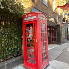
K6 Telephone Kiosk By Number 7
63 m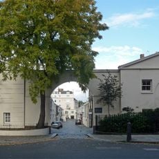
Number 11 Including Mews Arch
179 m
2-34 Eaton Place
74 m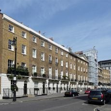
4-15, Wilton Street Sw1
79 m
3-11, Upper Belgrave Street Sw1
58 m
8–14 Chester Street
161 mReviews
Visited this place? Tap the stars to rate it and share your experience / photos with the community! Try now! You can cancel it anytime.
Discover hidden gems everywhere you go!
From secret cafés to breathtaking viewpoints, skip the crowded tourist spots and find places that match your style. Our app makes it easy with voice search, smart filtering, route optimization, and insider tips from travelers worldwide. Download now for the complete mobile experience.

A unique approach to discovering new places❞
— Le Figaro
All the places worth exploring❞
— France Info
A tailor-made excursion in just a few clicks❞
— 20 Minutes