68, High Street, building in Tunbridge Wells, Kent, UK
Location: Tunbridge Wells
Address: 68, High Street, Tunbridge Wells, Kent, TN1
GPS coordinates: 51.12781,0.26098
Latest update: November 21, 2025 06:13
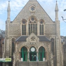
Vale Royal Methodist Church
108 m
11, Chapel Place
126 m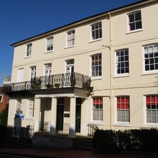
Caxton House
111 m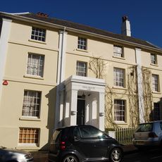
Sion House
90 m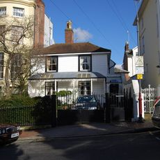
Walmer Cottage
75 m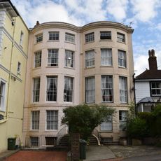
Blenheim
70 m
2-10, Bedford Terrace
124 m
Granite Surface To Frog Lane
76 m
5 And 7, Little Mount Sion
47 m
70 And 72, High Street
8 m
8A And 9, London Road
69 m
17, Mount Sion
92 m
Pavement To Bedford Terrace
118 m
32, Little Mount Sion
122 m
26, London Road
35 m
Caxton Cottage
102 m
90-94, High Street
69 m
8, London Road
75 m
2 And 4, Castle Street
27 m
Farthings
118 m
York House
48 m
Frog Cottage
101 m
4, Frog Lane
89 m
66, High Street
5 m
74, High Street
15 m
27 And 29, High Street
101 m
76 And 78, High Street
22 m
64, High Street
12 mReviews
Visited this place? Tap the stars to rate it and share your experience / photos with the community! Try now! You can cancel it anytime.
Discover hidden gems everywhere you go!
From secret cafés to breathtaking viewpoints, skip the crowded tourist spots and find places that match your style. Our app makes it easy with voice search, smart filtering, route optimization, and insider tips from travelers worldwide. Download now for the complete mobile experience.

A unique approach to discovering new places❞
— Le Figaro
All the places worth exploring❞
— France Info
A tailor-made excursion in just a few clicks❞
— 20 Minutes