
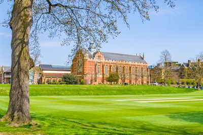
The Chapel Tonbridge School, building in Tonbridge and Malling, Kent, UK
Location: Tonbridge and Malling
GPS coordinates: 51.20088,0.27517
Latest update: March 8, 2025 14:12
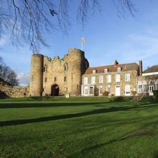
Tonbridge Castle
557 m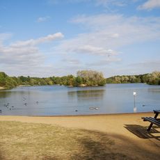
Haysden Country Park
2.2 km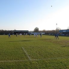
Longmead Stadium
1.3 km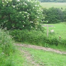
Lullingstone Country Park
2.2 km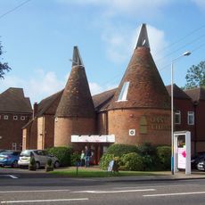
Oast Theatre
1.1 km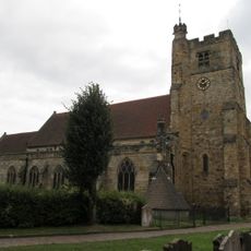
Church of St Peter and St Paul
372 m
The Rose And Crown Hotel
444 m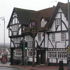
Ye Olde Chequers Inn
510 m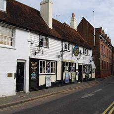
The Man Of Kent Public House
480 m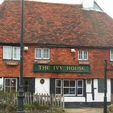
Ivy House Public House
225 m
Ferox Hall
181 m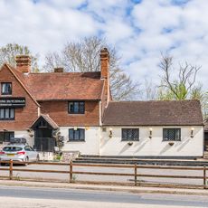
The Flying Dutchman Public House
2.2 km
The Manor House
164 m
The Hermitage
475 m
145 And 147, High Street
387 m
The Red House
293 m
157, High Street
339 m
Minerva House Minerva House Annexe
266 m
139, High Street
402 m
161, High Street
326 m
Old School House
1.3 km
Tyger's Head
351 m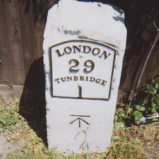
Milestone At 576 482
1.7 km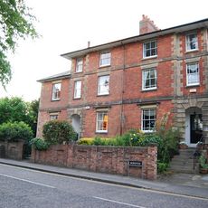
15, Bordyke
397 m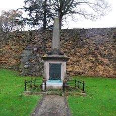
Tonbridge Boer War Memorial
577 m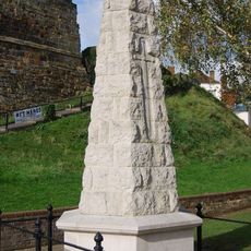
Tonbridge War Memorial
566 m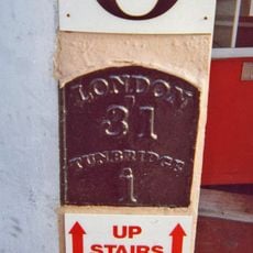
Milestone, Railway Approach, close to N of Pembury Road, in wall of Beat N Track shop
1.3 km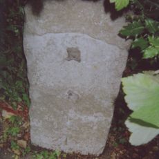
Milestone, London Road; W of Dry Hill Road, opp. School
220 mReviews
Visited this place? Tap the stars to rate it and share your experience / photos with the community! Try now! You can cancel it anytime.
Discover hidden gems everywhere you go!
From secret cafés to breathtaking viewpoints, skip the crowded tourist spots and find places that match your style. Our app makes it easy with voice search, smart filtering, route optimization, and insider tips from travelers worldwide. Download now for the complete mobile experience.

A unique approach to discovering new places❞
— Le Figaro
All the places worth exploring❞
— France Info
A tailor-made excursion in just a few clicks❞
— 20 Minutes