
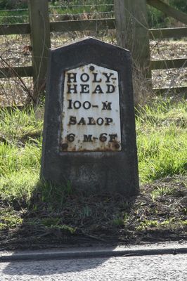
Milestone Approximately 460 Metres To South West Of Beam House Farmhouse
Milestone Approximately 460 Metres To South West Of Beam House Farmhouse, milestone in Montford, Shropshire, UK
Location: Montford
Inception: 1820s
GPS coordinates: 52.75382,-2.88287
Latest update: March 9, 2025 02:55
Preston Montford
4.4 km
St Andrew's Church, Great Ness
1.5 km
Church of Saint Mary
2.5 km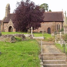
Church of St Michael
3.9 km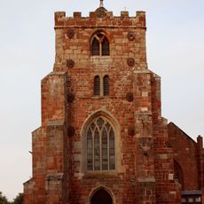
Church of All Saints
4.5 km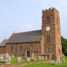
Church of Saint Chad
3.3 km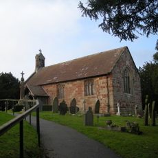
Church of Saint Martin
2.2 km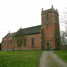
Church of Saint Peter and Saint Paul
4.4 km
Church of St John the Baptist
4.6 km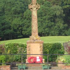
Nesscliffe War Memorial
2.8 km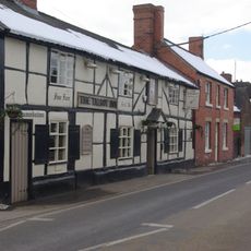
The Talbot Inn
4.7 km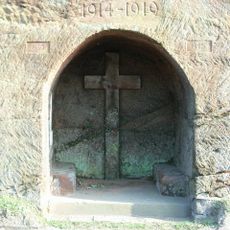
Ruyton-XI-Towns War Memorial
4.6 km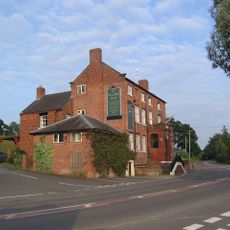
Nesscliffe Hotel
2.6 km
Kynaston's Cave
2.6 km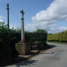
Little Ness War Memorial
2 km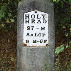
Milestone Approximately 90 Metres To East Of Wolfshead Farmhouse
4.7 km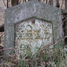
Milestone Approximately 30 Metres South East Of The Junction Between The A5 And Well Lane
3.1 km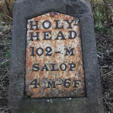
Milestone Approximately 125 Metres To South Of Forton Cottage
3.2 km
Shrewsbury Lodge
4 km
Shrawardine castle and settlement remains
2.4 km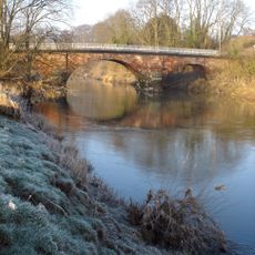
Montford Bridge
3.6 km
Milestone Approximately 310 Metres To South East Of Ensdon House
1.6 km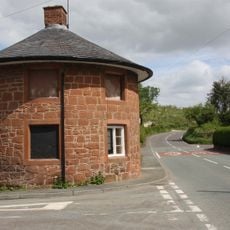
Ye Old Toll House
4.6 km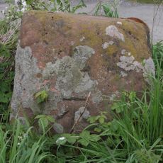
Benthall Cross, Remains Of
4.3 km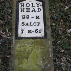
Milestone Approximately 180 Metres To North West Of Stone House
1.6 km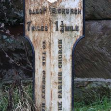
Milepost At Ngr Sj 4334 2060
4 km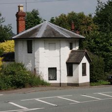
The Round House
3.5 km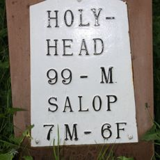
Milestone, by church at SJ397191
1.6 kmVisited this place? Tap the stars to rate it and share your experience / photos with the community! Try now! You can cancel it anytime.
Discover hidden gems everywhere you go!
From secret cafés to breathtaking viewpoints, skip the crowded tourist spots and find places that match your style. Our app makes it easy with voice search, smart filtering, route optimization, and insider tips from travelers worldwide. Download now for the complete mobile experience.

A unique approach to discovering new places❞
— Le Figaro
All the places worth exploring❞
— France Info
A tailor-made excursion in just a few clicks❞
— 20 Minutes