
19, Main Street, building in Deene, East Northamptonshire, Northamptonshire, UK
Location: Deene
Address: 19, Main Street, Deene, East Northamptonshire, Northamptonshire, NN17
GPS coordinates: 52.52371,-0.60511
Latest update: March 3, 2025 02:16

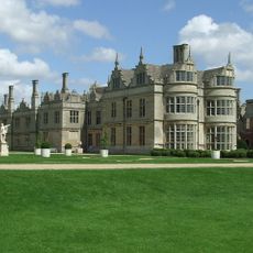
Kirby Hall
2.1 km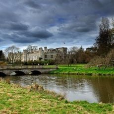
Deene Park
431 m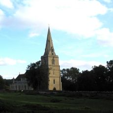
Church of St Peter, Deene
460 m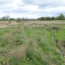
Bulwick Meadows
2.2 km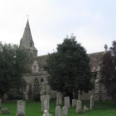
Church of All Saints
3.4 km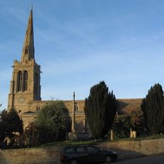
Church of St Nicholas
2.2 km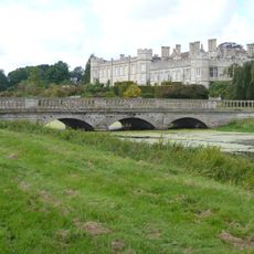
Bridge Approximately 80 Metres South East Of Deene Hall
374 m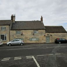
The Woolpack Public House
3.6 km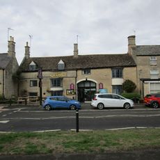
The George Hotel And Restaurant
3.7 km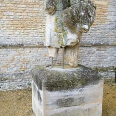
Statue Approximately 120 Metres East Of Garden Front Of Kirby Hall
2.2 km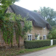
Cherry Tree Cottage
96 m
Bulwick War Memorial
2.2 km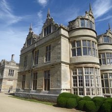
Group Of Kerbstones In Forecourt, Kirby Hall
2.1 km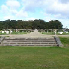
Steps Approximately 60 Meteres South West Of Garden Front Of Kirby Hall
2.2 km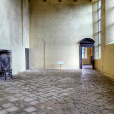
Kirby Hall: an Elizabethan country house and gardens and the remains of the medieval village of Kirby
2 km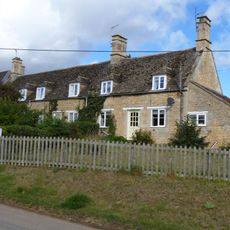
Sunnydene
178 m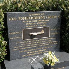
401st Bombardment Group USAAF Memorial, Deenethorpe
3.4 km
Stone Shaft Approximately 30 Metres East Of Harringworth Lodge
3 km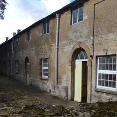
Stables Approximately 50 Metres North West Of Deene Hall
257 m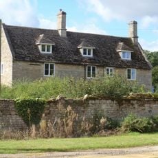
Home Farmhouse
274 m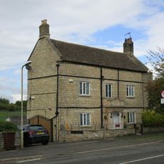
The Rosary
3.5 km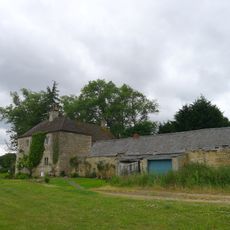
Weldon Lodge
3.3 km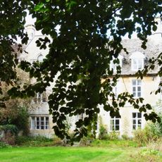
Manor Farmhouse and Former Seahorse Public House
82 m
11, Stamford Road
3.6 km
9, 10 And 11, School Lane
3.6 km
Harringworth Lodge
3 km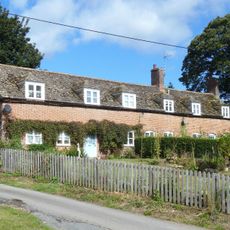
13 And 15, Main Street
141 m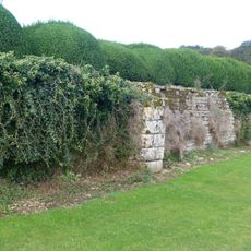
Retaining Wall Attached To South Of Garden Front Of Kirby Hall
2.1 kmReviews
Visited this place? Tap the stars to rate it and share your experience / photos with the community! Try now! You can cancel it anytime.
Discover hidden gems everywhere you go!
From secret cafés to breathtaking viewpoints, skip the crowded tourist spots and find places that match your style. Our app makes it easy with voice search, smart filtering, route optimization, and insider tips from travelers worldwide. Download now for the complete mobile experience.

A unique approach to discovering new places❞
— Le Figaro
All the places worth exploring❞
— France Info
A tailor-made excursion in just a few clicks❞
— 20 Minutes