
29 And 31, The Street, building in Didmarton, Cotswold, Gloucestershire, UK
Location: Didmarton
Address: 29 And 31, The Street, Didmarton, Cotswold, Gloucestershire, GL9
GPS coordinates: 51.58526,-2.26177
Latest update: March 23, 2025 11:25
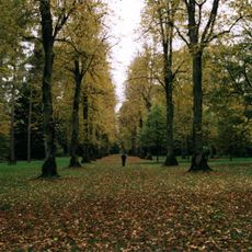
Westonbirt Arboretum
3.5 km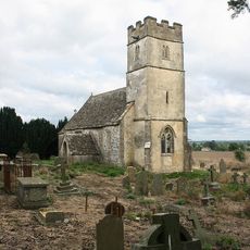
St Arild's Church, Oldbury-on-the-Hill
821 m
Midger
3.1 km
Swangrove
2.8 km
Upton Coombe
3.1 km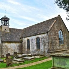
Church of St Lawrence
275 m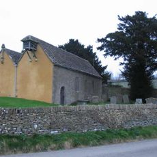
Church of St Michael and All Angels
3.6 km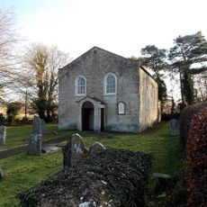
Congregational Church
241 m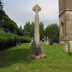
Sopworth War Memorial
1.4 km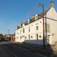
The Kings Arms
142 m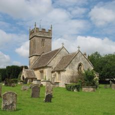
Church of St Mary
1.4 km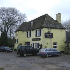
The Holford Arms
2 km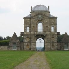
Worcester Lodge To Badminton Park
977 m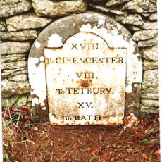
Milestone, 15 Yards To North East Of Dunkirk Farmhouse, At Ngr St 7912 8623
3.1 km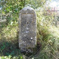
Milestone
3.6 km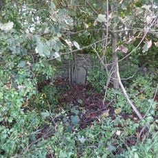
Milestone
2.8 km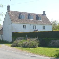
Whitehouse Farmhouse
3.6 km
Milestone About 120 Metres North East Of Drive To The Old Rectory
3.6 km
West End House
166 m
Milestone
1.5 km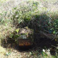
Milestone At Ngr 7980 8821
2.3 km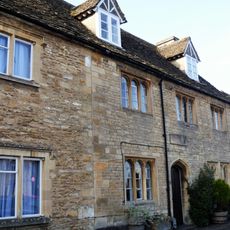
9,11, And 13, High Street
3.7 km
Upper Kilcott Farmhouse
2.7 km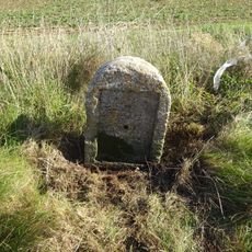
Milestone At Ngr 7933 8667
2.7 km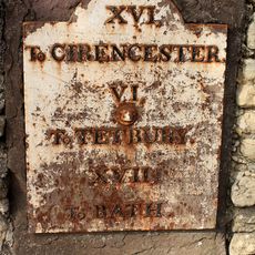
Milestone Set Into Wall, About 9 Metres West Of Number 34
22 m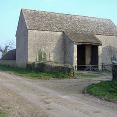
Lypiatt Barn
3.4 km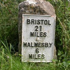
Milestone
3.6 km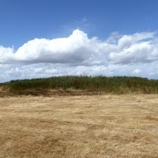
Long barrow 335m north west of Starveall Farm
2.6 kmReviews
Visited this place? Tap the stars to rate it and share your experience / photos with the community! Try now! You can cancel it anytime.
Discover hidden gems everywhere you go!
From secret cafés to breathtaking viewpoints, skip the crowded tourist spots and find places that match your style. Our app makes it easy with voice search, smart filtering, route optimization, and insider tips from travelers worldwide. Download now for the complete mobile experience.

A unique approach to discovering new places❞
— Le Figaro
All the places worth exploring❞
— France Info
A tailor-made excursion in just a few clicks❞
— 20 Minutes