
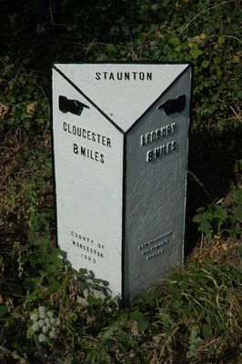
Milestone, About 24 Metres East Of Footpath To Church
Milestone, About 24 Metres East Of Footpath To Church, milestone in Staunton, Forest of Dean, Gloucestershire, UK
Location: Staunton
Inception: 1898
GPS coordinates: 51.96192,-2.31877
Latest update: March 5, 2025 20:08
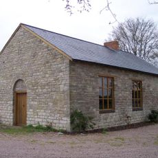
Gadfield Elm Chapel
2 km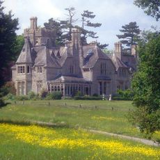
Foscombe
3.2 km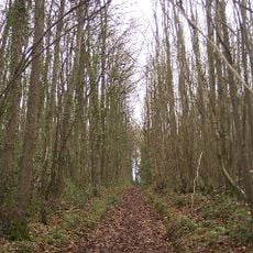
Collinpark Wood SSSI
3.5 km
Church of St Margaret
2.9 km
Church of St John Baptist
2.6 km
Church of St John the Evangelist
3.3 km
Church of St Mary
2.7 km
Church of St James
114 m
Church of St Bartholomew
3.6 km
Prince Of Wales Public House
987 m
Rock Farmhouse
3.3 km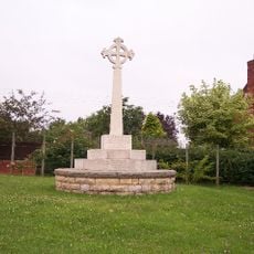
Redmarley D'Abitot War Memorial
3.6 km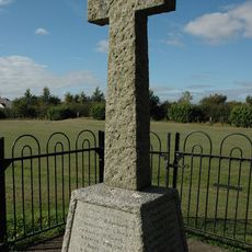
Staunton War Memorial
67 m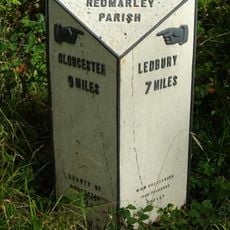
Milestone At Ngr So769301
1.5 km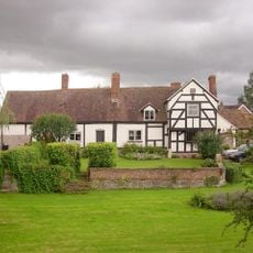
Corse Court
2.9 km
Pigeon House At Pigeon House Farm
3.4 km
Snig's End Farmhouse
1.1 km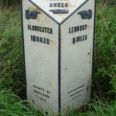
Milestone, About 85 Metres North Of The Rose And Crown Public House
2.9 km
Mill, About 150 Metres East South East Of Pauntley Court
3.1 km
Sladbrook Farmhouse
1.3 km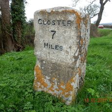
Milestone On South Side Of Junction With Straight Lane
2.5 km
Parsonage Farmhouse
3 km
Dovecote, Pauntley Court
3.3 km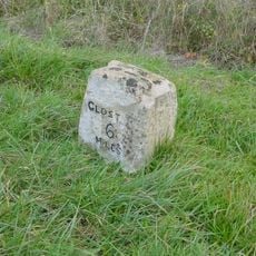
Milestone, About 200M North Of Junction With Worcester Road
2.5 km
Stables, About 46 Metres South Of Pauntley Court
3.3 km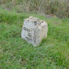
Milestone, Corse; Church Lane
2.5 km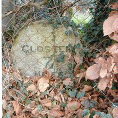
Milestone, Snigsend
1.1 km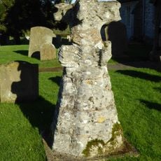
Top Of Spire, Reset In Churchyard, About 5 Metres North Of The West End Of The Tower, Church Of St Margaret
2.9 kmReviews
Visited this place? Tap the stars to rate it and share your experience / photos with the community! Try now! You can cancel it anytime.
Discover hidden gems everywhere you go!
From secret cafés to breathtaking viewpoints, skip the crowded tourist spots and find places that match your style. Our app makes it easy with voice search, smart filtering, route optimization, and insider tips from travelers worldwide. Download now for the complete mobile experience.

A unique approach to discovering new places❞
— Le Figaro
All the places worth exploring❞
— France Info
A tailor-made excursion in just a few clicks❞
— 20 Minutes