The School House, house in Reigate and Banstead, Surrey, UK
Location: Reigate and Banstead
GPS coordinates: 51.23954,-0.20951
Latest update: November 20, 2025 08:40
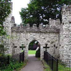
Reigate Castle
161 m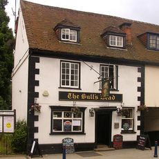
The Bull's Head Inn
205 m
6, Park Lane
207 m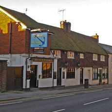
Blue Anchor Public House
193 m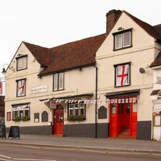
The Red Cross Hotel
157 m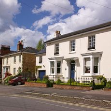
St Albans
212 m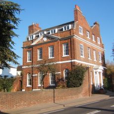
Browne's Lodge
181 m
Medieval undercroft between West Street and Slipshoe Street, Reigate
142 m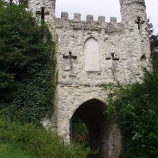
Reigate Castle Gateway
201 m
Baron's Cave
122 m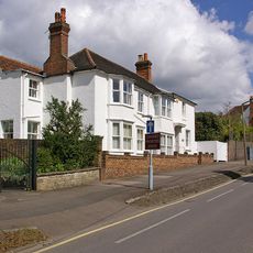
The White House
168 m
The Former Stable And Coach-House Of Browne's Lodge
155 m
77 And 77A, High Street
175 m
The Elms
122 m
61 And 63, High Street
199 m
18A And 20, Upper West Street
129 m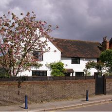
10, Slipshoe Street
114 m
Garden Walls To East Of No 22 (Browne's Lodge)
170 m
21, West Street
178 m
31, West Street
199 m
82 High Street
176 m
No 26, Including Coach House
185 m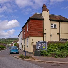
32, Nutley Lane
123 m
65, High Street
198 m
70, High Street
191 m
6, Slipshoe Street
135 m
Norfolk Lodge
88 m
Barons Cave
122 mReviews
Visited this place? Tap the stars to rate it and share your experience / photos with the community! Try now! You can cancel it anytime.
Discover hidden gems everywhere you go!
From secret cafés to breathtaking viewpoints, skip the crowded tourist spots and find places that match your style. Our app makes it easy with voice search, smart filtering, route optimization, and insider tips from travelers worldwide. Download now for the complete mobile experience.

A unique approach to discovering new places❞
— Le Figaro
All the places worth exploring❞
— France Info
A tailor-made excursion in just a few clicks❞
— 20 Minutes