
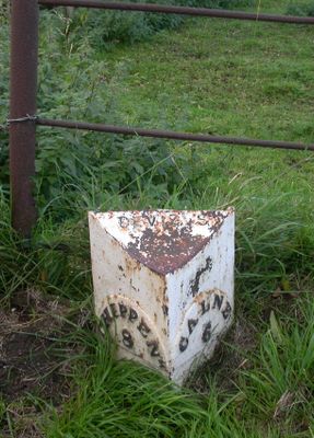
Milestone At St 9779 6285 North West Of Bridge By Rowde Petrol Filling Station
Milestone At St 9779 6285 North West Of Bridge By Rowde Petrol Filling Station, milestone in Rowde, Wiltshire, UK
Location: Rowde
Inception: 19 century
GPS coordinates: 51.36467,-2.03306
Latest update: March 4, 2025 16:55
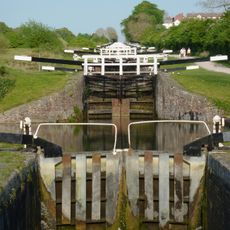
Caen Hill Locks
1.4 km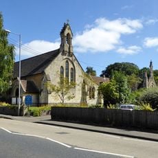
St Peter's Church, Devizes
2.2 km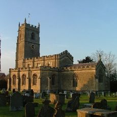
Church of St Matthew
198 m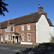
The Queen's Head Inn
1.9 km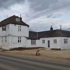
The Oliver Cromwell Inn
1.6 km
The George And Dragon Inn
135 m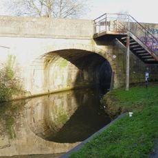
The Town Bridge
2.5 km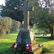
Rowde War Memorial Cross
200 m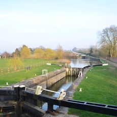
Caen Hill locks
1.4 km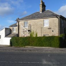
Bridge House Durleston
2 km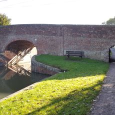
Marsh Lane Bridge
1.4 km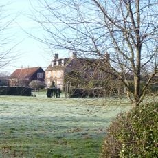
Upper Foxhanger Farmhouse
1.4 km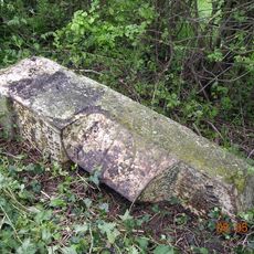
Milestone On South Side About 17 Metres West Of Summerham Bridge
2.5 km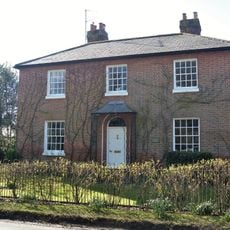
Blaxhall House
409 m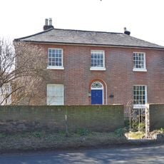
Newton House
433 m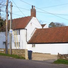
The White House
2.4 km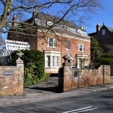
Dunkirk House
1.9 km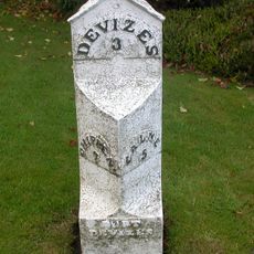
Milestone Ouside No 176
1.4 km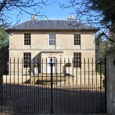
Rowde House
308 m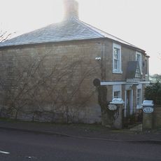
11 And 12
2.4 km
Saint Edith's House
1.6 km
Linfurlong
260 m
Foxhanger House
1.4 km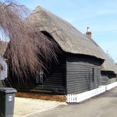
Barn To West Of Myrtle Farmhouse
150 m
Milestone At St 992622 About 100 Metres North West Of Oxhouse Farmhouse
1.5 km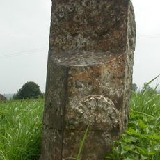
Milestone On South Side About 85 Metres West Of Lane To Poulshot
1.7 km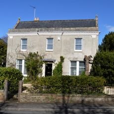
Hillside
1.9 km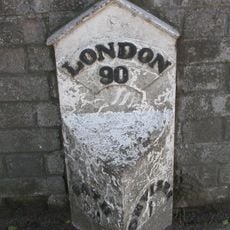
Milepost, Bath Road, by "Fairmile", W of Dunkirk Hill
1.9 kmReviews
Visited this place? Tap the stars to rate it and share your experience / photos with the community! Try now! You can cancel it anytime.
Discover hidden gems everywhere you go!
From secret cafés to breathtaking viewpoints, skip the crowded tourist spots and find places that match your style. Our app makes it easy with voice search, smart filtering, route optimization, and insider tips from travelers worldwide. Download now for the complete mobile experience.

A unique approach to discovering new places❞
— Le Figaro
All the places worth exploring❞
— France Info
A tailor-made excursion in just a few clicks❞
— 20 Minutes