
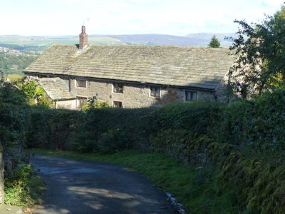
Brines Farmhouse, Grade II listed farmhouse in the civil parish of Disley, Cheshire East, Cheshire, SK12
Location: Disley
Inception: 1735
Floors above the ground: 2
Made from material: sandstone, stone slate, brick
GPS coordinates: 53.35193,-2.02167
Latest update: April 18, 2025 11:09
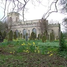
St Mary's Church, Disley
1.3 km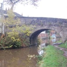
Canal Bridge Number 26
1.2 km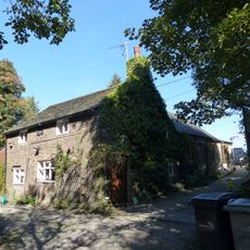
Lower Greenshall
767 m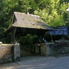
Lych gate to Church of St Mary
1.4 km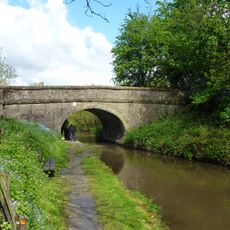
Canal Bridge Number 27
913 m
The Malt Cottage
1.3 km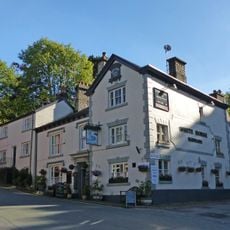
White Horse Hotel
1.3 km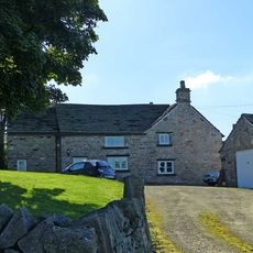
Lane Head Farmhouse
488 m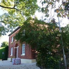
Dryhurst Lodge
1.2 km
Barn at Red Moor Farm
573 m
32, Buxton Old Road
1.1 km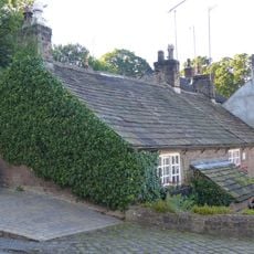
12, 14 and 16, Buxton Old Road
1.3 km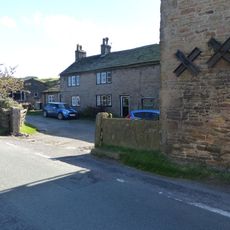
Lane Ends Farmhouse, and L-shaped range of buildings
294 m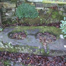
Cross base in the churchyard of St Mary
1.4 km
The Chantry House
1.1 km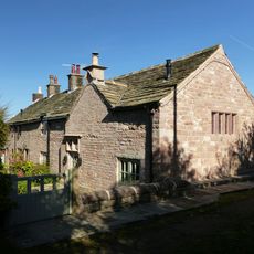
The Cottage at Disley Hall Farm
457 m
Schoolhouse Surgery
1.3 km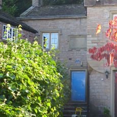
Extension To Parish Hall
1.3 km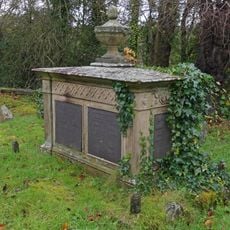
Tomb of Samuel Brady in the churchyard of St Mary
1.4 km
Moore's Buildings
1.3 km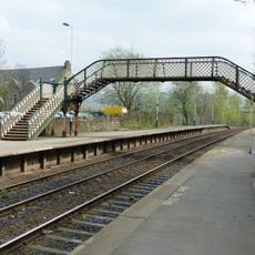
Footbridge At New Mills Station
1.2 km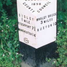
Milepost, Newtown
798 m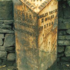
Milepost, between Newtown & Furness Vale
1.3 km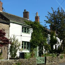
37, Buxton Old Road
1.1 km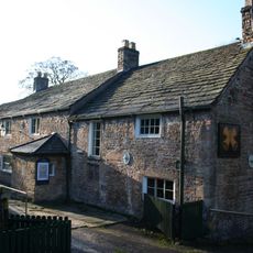
Disley Friends Meeting House
1.2 km
Foxholes
1.1 km
White Cottage
1.2 km
17, Buxton Old Road
1.3 kmVisited this place? Tap the stars to rate it and share your experience / photos with the community! Try now! You can cancel it anytime.
Discover hidden gems everywhere you go!
From secret cafés to breathtaking viewpoints, skip the crowded tourist spots and find places that match your style. Our app makes it easy with voice search, smart filtering, route optimization, and insider tips from travelers worldwide. Download now for the complete mobile experience.

A unique approach to discovering new places❞
— Le Figaro
All the places worth exploring❞
— France Info
A tailor-made excursion in just a few clicks❞
— 20 Minutes