
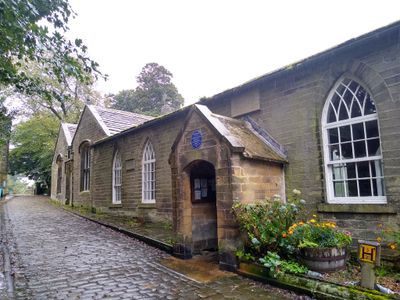
National School, school building in Haworth, Cross Roads and Stanbury, Bradford, West Yorkshire, UK
Location: Haworth, Cross Roads and Stanbury
GPS coordinates: 53.83131,-1.95683
Latest update: March 25, 2025 09:43
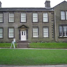
Brontë Parsonage Museum
32 m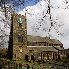
St Michael and All Angels' Church, Haworth
61 m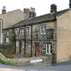
Oakworth Hall
1.6 km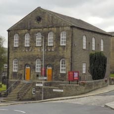
Hall Green Baptist Chapel
409 m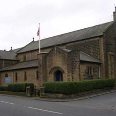
Church of St James
1.6 km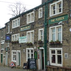
The Fleece Public House
225 m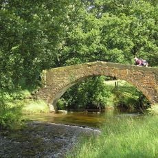
Long Bridge, Haworth
955 m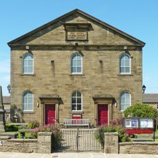
Haworth Library
183 m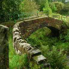
Lumb Foot Packhorse Bridge
1.5 km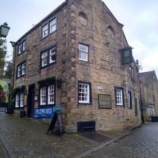
The Kings Arms Public House
44 m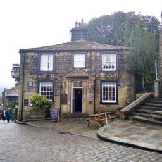
The Black Bull Hotel And Attached Water Trough
76 m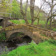
North Ives Bridge
1.4 km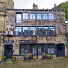
25 And 27, Main Street
301 m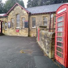
K6 Telephone Kiosk Outside Haworth Railway Station
527 m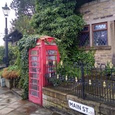
K6 Telephone Kiosk At Junction With Sun Street
371 m
32, 36 And 38, Main Street
181 m
76, Main Street
105 m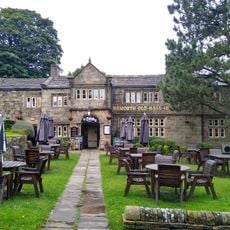
The Old Hall
378 m
73, Main Street
202 m
13 And 15, Main Street
328 m
72, Main Street
113 m
29, 31 And 33, Main Street
284 m
54, Main Street
141 m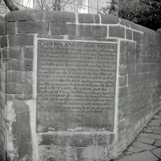
Plaque In Garden Wall Of Ebor House At Junction Of Ebor House At Junction Of Ebor Lane And Lees Lane Plaque In Garden Wall Of Ebor House At Junction Of Ebor Lane And Lees Lane
729 m
87 And 89, Main Street
164 m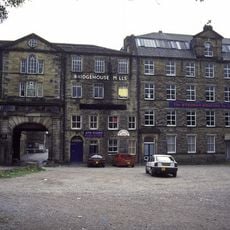
Bridgehouse Mills (Airedale Springs Ltd)
633 m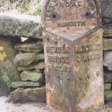
Milestone, Hebden Road, 'top' road, E of Haworth, N of Oxenhope
841 m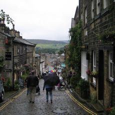
84, Main Street
94 mReviews
Visited this place? Tap the stars to rate it and share your experience / photos with the community! Try now! You can cancel it anytime.
Discover hidden gems everywhere you go!
From secret cafés to breathtaking viewpoints, skip the crowded tourist spots and find places that match your style. Our app makes it easy with voice search, smart filtering, route optimization, and insider tips from travelers worldwide. Download now for the complete mobile experience.

A unique approach to discovering new places❞
— Le Figaro
All the places worth exploring❞
— France Info
A tailor-made excursion in just a few clicks❞
— 20 Minutes