
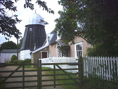
Drinkstone Smock Mill, smock mill in Drinkstone, Mid Suffolk, Suffolk, UK
Location: Drinkstone
Part of: Drinkstone windmills
GPS coordinates: 52.22204,0.87413
Latest update: March 18, 2025 08:05
Drinkstone windmills
156 m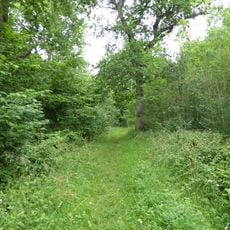
Norton Wood
2.5 km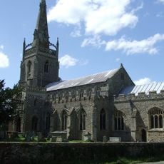
Church of St Mary, Woolpit
1.1 km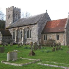
Church of St Andrew
1.6 km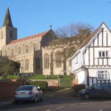
Church of St Nicholas
3.3 km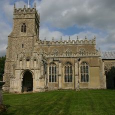
Church of St Ethelbert
2.7 km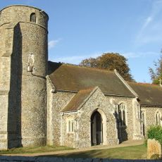
Church of All Saints
3.1 km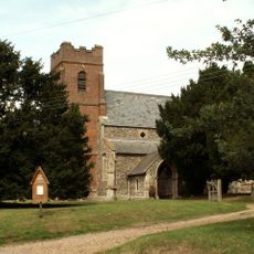
Church of All Saints
660 m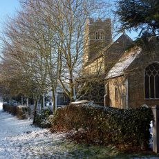
Church of St John
2.3 km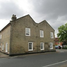
Woolpit Institute (Part)
1 km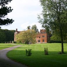
Gedding Hall
3.7 km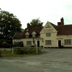
Five Bells Inn
2.8 km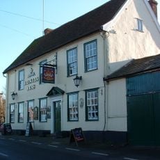
The Brewers Arms Public House
3.5 km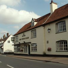
The White Horse Public House
3.2 km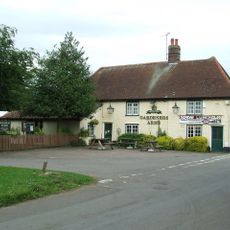
The Gardeners Arms Public House
1.8 km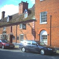
The Swan Inn (Part)
997 m
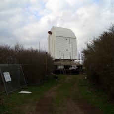
Drinkstone Post Mill
106 m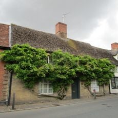
Bridges
963 m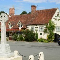
Norton War Memorial
3.7 km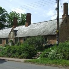
The Almshouses
2.4 km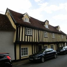
Weaver House And Number 2
975 m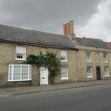
1, The Street
977 m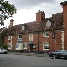
The Swan Inn (Part)
1 km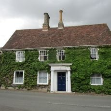
Premises Occupied By Dr Dean
1 km
The Old Bakery
1 km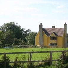
Arch Farmhouse
2.5 km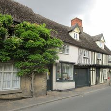
Granmor
953 m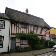
Pepys House
1 kmVisited this place? Tap the stars to rate it and share your experience / photos with the community! Try now! You can cancel it anytime.
Discover hidden gems everywhere you go!
From secret cafés to breathtaking viewpoints, skip the crowded tourist spots and find places that match your style. Our app makes it easy with voice search, smart filtering, route optimization, and insider tips from travelers worldwide. Download now for the complete mobile experience.

A unique approach to discovering new places❞
— Le Figaro
All the places worth exploring❞
— France Info
A tailor-made excursion in just a few clicks❞
— 20 Minutes