
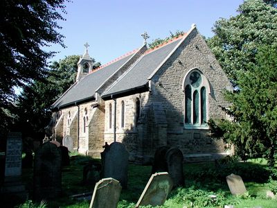
Church of St Giles, church building in City of Kingston upon Hull, East Riding of Yorkshire, UK
Location: City of Kingston upon Hull
GPS coordinates: 53.74931,-0.26734
Latest update: March 3, 2025 14:53
East Park
2.9 km
The Garden Village, Kingston upon Hull
3.3 km
Kingston Wesleyan Methodist Church
2.3 km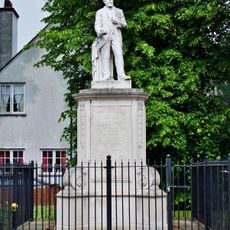
Statue of James Stuart
2.8 km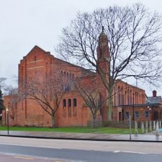
St Columba's Church
2.8 km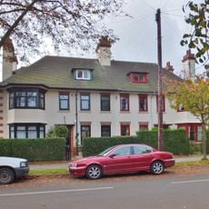
67 And 69, Village Road
3.1 km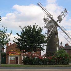
Windmill At The Mill Public House
2.5 km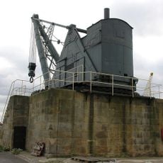
100 Ton Steam Crane At Alexandra Dock
1.6 km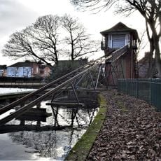
Water Chute On The Boating Lake In East Park
2.8 km
11 And 12, The Oval
3.2 km
Holderness House
2.9 km
81 Village Road
3.1 km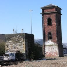
Hydraulic Engine House And Tower At Alexandra Dock
1.7 km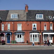
Nos 365-371 Holderness Road
2.9 km
1 and 3, Village Road
2.9 km
North Lodge
2.9 km
9 And 10, The Oval
3.2 km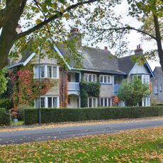
7 And 8, The Oval
3.2 km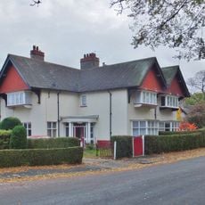
15 And 16, The Oval
3.2 km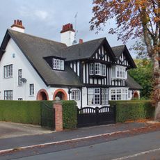
71, Village Road
3.1 km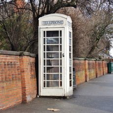
K6 Telephone Kiosk Adjoining Boundary Wall At Ferens Havens
2.4 km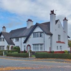
13 And 14, The Oval
3.2 km
Milestone, Holderness Road shops nr Ings Road X Rds
2.4 km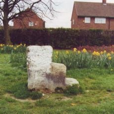
Milestone, Holderness Road, 100m N of island to Bilton Grange Estate
2.7 km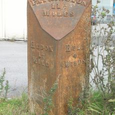
Milestone, Salt End TI, NW corner
2.3 km
5 And 6, The Oval
3.3 km
Frederick Reckitt Havens
3 km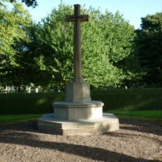
Hedon Road Cemetery Cross of Sacrifice, Kingston upon Hull
1.8 kmVisited this place? Tap the stars to rate it and share your experience / photos with the community! Try now! You can cancel it anytime.
Discover hidden gems everywhere you go!
From secret cafés to breathtaking viewpoints, skip the crowded tourist spots and find places that match your style. Our app makes it easy with voice search, smart filtering, route optimization, and insider tips from travelers worldwide. Download now for the complete mobile experience.

A unique approach to discovering new places❞
— Le Figaro
All the places worth exploring❞
— France Info
A tailor-made excursion in just a few clicks❞
— 20 Minutes