
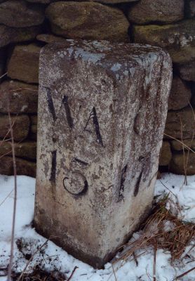
Milestone Circa 100 Metres South Of Drover House, milestone in Satley, County Durham, UK
Location: Satley
Inception: 18 century
GPS coordinates: 54.77718,-1.85331
Latest update: March 2, 2025 21:04
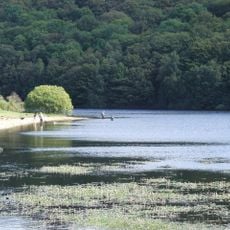
Backstone Bank and Baal Hill Woods
3.3 km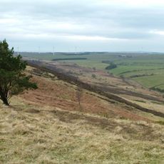
Hedleyhope Fell
4.5 km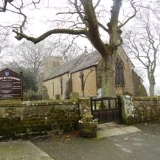
Church of St Cuthbert
2.3 km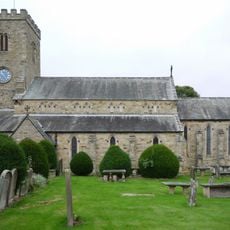
Church of St Mary and St Stephen
5.5 km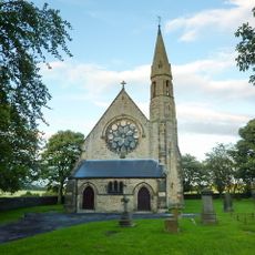
Church of St Philip and St James
4.5 km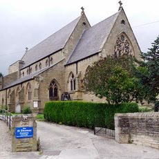
Church of St Thomas of Canterbury
5.4 km
Thornley War Memorial
5.5 km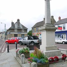
Wolsingham War Memorial
5.6 km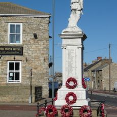
War Memorial
4.6 km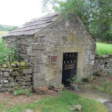
Holy Well West Of Holywell Farmhouse
5 km
Bishop Oak
4.4 km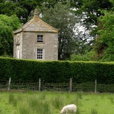
Gazebo/dovecote in garden of Bishop Oak
4.4 km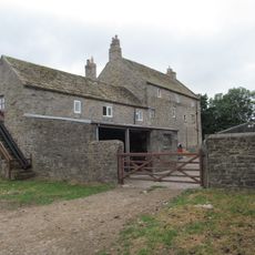
Baal Hill House Farmhouse
4.5 km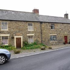
8, Meadhope Street
5.5 km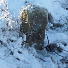
Boundary Stone Circa 220 Metres West Of Stuartfield Lodge
2.6 km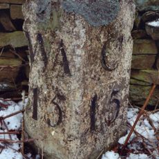
Milestone Circa 50 Metres North Of Junction With Eliza Lane
3.1 km
Gate Piers, Gates And Retaining Walls To Church Of St Mary And St Stephen
5.6 km
Rivendell
5.4 km
Little Redgate Farmhouse
4.5 km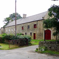
Holywell Farmhouse, Byre And Carthouse
5 km
Demesne Hall
5.5 km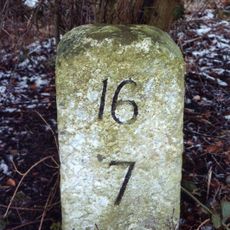
Milestone South West Of Broadwood Cottages
5.1 km
Castle Hill Farmhouse
3.6 km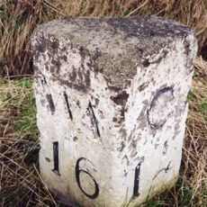
Milestone Circa 250 Mertres North Of High Alder Heads
4.7 km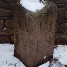
Milestone Circa 110 Metres South Of Greenfield Cottages
1.6 km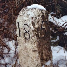
Milestone About 70 Metres South Of Junction With Pan Lane
2.1 km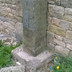
Milestone, Redgate, N end of stone cottage wall
4.5 km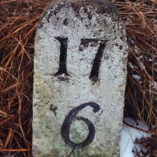
Milestone About 170 Metres North Of Track To Hall Hill Farm
3.5 kmReviews
Visited this place? Tap the stars to rate it and share your experience / photos with the community! Try now! You can cancel it anytime.
Discover hidden gems everywhere you go!
From secret cafés to breathtaking viewpoints, skip the crowded tourist spots and find places that match your style. Our app makes it easy with voice search, smart filtering, route optimization, and insider tips from travelers worldwide. Download now for the complete mobile experience.

A unique approach to discovering new places❞
— Le Figaro
All the places worth exploring❞
— France Info
A tailor-made excursion in just a few clicks❞
— 20 Minutes