
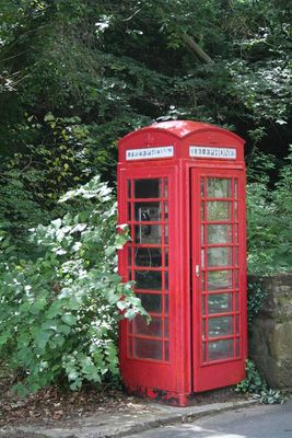
K6 Telephone Kiosk, Hill Road, Grade II listed phone box in Eccleston, Cheshire West and Chester, Cheshire, CH4
Location: Eaton and Eccleston
GPS coordinates: 53.15614,-2.88394
Latest update: March 20, 2025 21:48
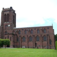
St Mary's Church, Eccleston, Cheshire
344 m
Eccleston Paddocks
211 m
Eccleston Hill Lodge
284 m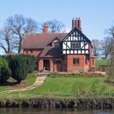
Eccleston Ferry House
705 m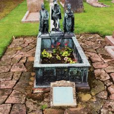
Monument to Hugh, Earl Grosvenor
409 m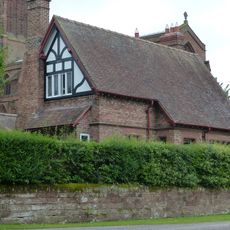
Church Cottage, Eccleston
371 m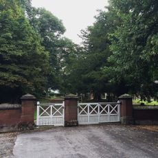
Walls and gates between Old Church Lane and the old churchyard
390 m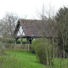
Bandstand in Eccleston Ferry Farmhouse garden
702 m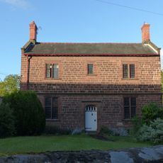
Police House
225 m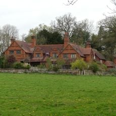
Morris Oak Cottages
498 m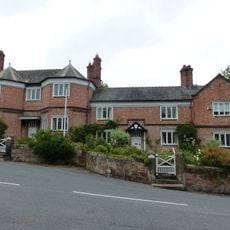
Post office with postmaster's house and attached house to right
245 m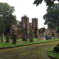
Remains of former Church of St Mary
427 m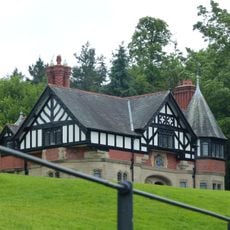
Eccleston Lodge
753 m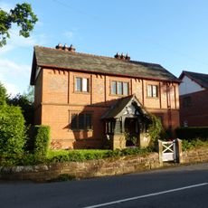
Smithy Farm
107 m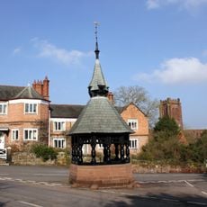
Shelter (at junction with Paddock Road - forming island in road)
246 m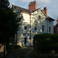
Riverside House
428 m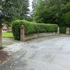
Garden walls, gateposts and gates along Church Road to Riverside and Coach-House
405 m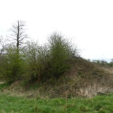
Motte and associated earthworks east of Old Rectory
524 m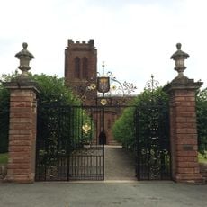
Churchyard gates, piers and wing walls
325 m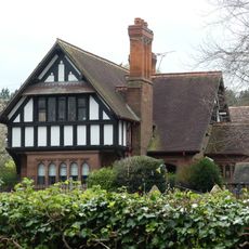
Former Schoolmaster's House with storeshed and domestic offices attached
186 m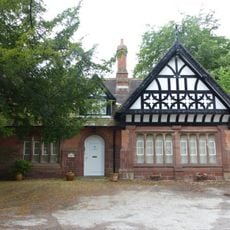
Former Institute (now office of chartered surveyor)
375 m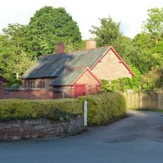
Former smithy, south of Smithy Farm
103 m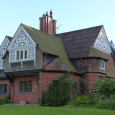
Sun Houses
49 m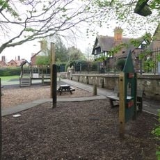
Wall and steps to terrace in front of St Mary's School and School House
199 m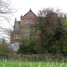
The Old Rectory
394 m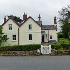
The Rectory and attached coach house
340 m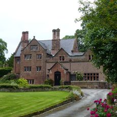
Manor House
451 m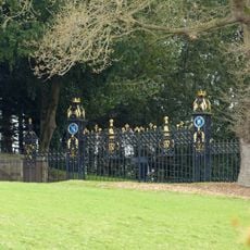
Eccleston Lodge Gates, piers and wing railings
735 mVisited this place? Tap the stars to rate it and share your experience / photos with the community! Try now! You can cancel it anytime.
Discover hidden gems everywhere you go!
From secret cafés to breathtaking viewpoints, skip the crowded tourist spots and find places that match your style. Our app makes it easy with voice search, smart filtering, route optimization, and insider tips from travelers worldwide. Download now for the complete mobile experience.

A unique approach to discovering new places❞
— Le Figaro
All the places worth exploring❞
— France Info
A tailor-made excursion in just a few clicks❞
— 20 Minutes