
Orangery, Walls And Gate Piers To East Of Croxdale Hall, wall in Croxdale and Hett, County Durham, UK
Location: Croxdale and Hett
GPS coordinates: 54.73439,-1.57226
Latest update: November 12, 2025 09:16
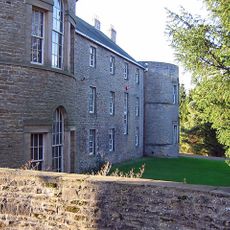
Croxdale Hall
304 m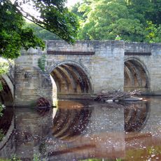
Sunderland Bridge
1.1 km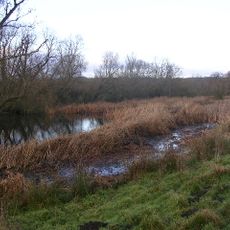
Butterby Oxbow
1.3 km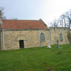
Croxdale church
267 m
Church 50 metres north east of Croxdale Hall
262 m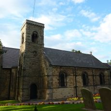
Church of St Bartholomew
957 m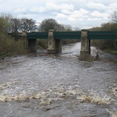
Croxdale Road Bridge
1 km
Cross Shaft Base 8 Metres South Of Church To North East Of Croxdale Hall
257 m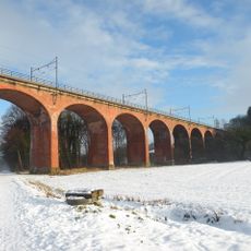
Croxdale Viaduct
1.3 km
Bridge 170 Metres North Of The Mill House
485 m
The Mill House
524 m
Priests House 90 Metres East Of Croxdale Hall
229 m
South Courtyard Range And Cottage, To East Of Croxdale Hall
277 m
High Croxdale Farmhouse And Flanking Barns
913 m
North And East Courtyard Ranges And Walls, To East Of Croxdale Hall
252 m
Bank House Farmhouse
1 km
Garden Wall And Gates To South East Of Croxdale Hall
244 m
Slashpool House
1.3 km
Barn At East Farm 30 Metres North West Of The Hermitage
678 m
The Meadows
715 m
The Hermitage
652 m
Gazebo, Gate Piers And Garden Walls To East And South Of The Hermitage
632 m
Haybarn and Rear Yard Walls 110 Metres East of Croxdale Hall
221 m
Croxdale Wood House
830 m
High Grange Farmhouse And Attached Farmbuildings
1.1 km
Willow Arbour
1 km
Willow Miner's Wife
934 m
Plant for the Future
1.3 kmReviews
Visited this place? Tap the stars to rate it and share your experience / photos with the community! Try now! You can cancel it anytime.
Discover hidden gems everywhere you go!
From secret cafés to breathtaking viewpoints, skip the crowded tourist spots and find places that match your style. Our app makes it easy with voice search, smart filtering, route optimization, and insider tips from travelers worldwide. Download now for the complete mobile experience.

A unique approach to discovering new places❞
— Le Figaro
All the places worth exploring❞
— France Info
A tailor-made excursion in just a few clicks❞
— 20 Minutes