
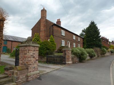
Smithy Farmhouse, Grade II listed farmhouse in Dunham-on-the-Hill, Cheshire West and Chester, Cheshire, WA6
Location: Dunham-on-the-Hill and Hapsford
GPS coordinates: 53.24740,-2.79398
Latest update: March 8, 2025 03:29
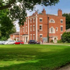
Trafford Hall
2 km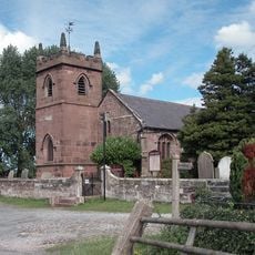
St Peter's Church
2.8 km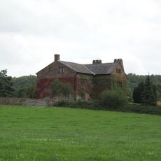
Alvanley Hall
3.4 km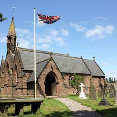
St John the Evangelist's Church, Alvanley
3 km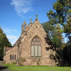
St Luke's Church, Dunham on the Hill
522 m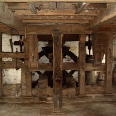
Trafford Mill
2.9 km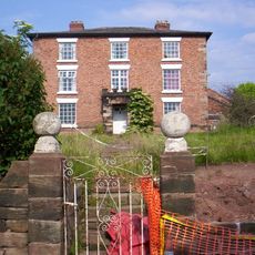
Hapsford Hall
1.8 km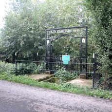
St. Plegmund's well
2.9 km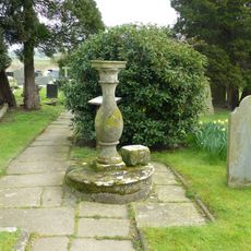
Sundial in the churchyard of St Peter
2.8 km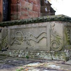
Vault, tombchest and memorial of the Hurleston family attached to east end of Church of St Peter
2.8 km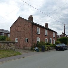
Pear Tree Farm House
128 m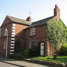
Laurels Farmhouse
3.3 km
Town Farm Farmhouse
141 m
Dunhamhall Farmhouse
325 m
Little Barrow Hall
2.5 km
K6 Telephone Kiosk
3.3 km
Dovecot 45 metres east of Manley Old Hall
3.3 km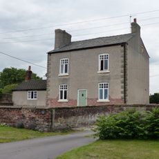
Manor Farmhouse
119 m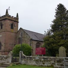
West wall and gate of the churchyard of St Peter
2.9 km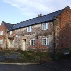
Rock Farmhouse
3.3 km
Poplar Tree Farmhouse
2.9 km
Church House Farmhouse and wall to front garden
3 km
Horns Farmhouse
1.8 km
Barn at Hapsford Hall
1.8 km
Alvanley House
3.1 km
Shippon stable and cartshed 10 metres south east of Poplar Tree Farmhouse
2.9 km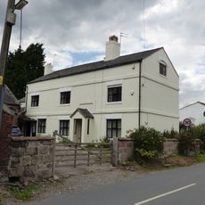
Manor Farmhouse
1.8 km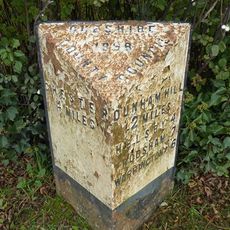
Milepost, Trafford Mill
2.9 kmVisited this place? Tap the stars to rate it and share your experience / photos with the community! Try now! You can cancel it anytime.
Discover hidden gems everywhere you go!
From secret cafés to breathtaking viewpoints, skip the crowded tourist spots and find places that match your style. Our app makes it easy with voice search, smart filtering, route optimization, and insider tips from travelers worldwide. Download now for the complete mobile experience.

A unique approach to discovering new places❞
— Le Figaro
All the places worth exploring❞
— France Info
A tailor-made excursion in just a few clicks❞
— 20 Minutes