
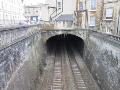
Bathwick Covered Way, architectural structure in Bath and North East Somerset, Somerset, UK
Location: Bath and North East Somerset
GPS coordinates: 51.38304,-2.34979
Latest update: September 24, 2025 10:23
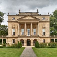
Holburne Museum
302 m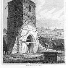
St Mary's Church, Bathwick
158 m
St Mary's Church, Bathwick
155 m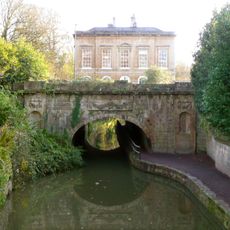
Kennet And Avon Canal Tunnel (under Cleveland House And Sydney Road)
323 m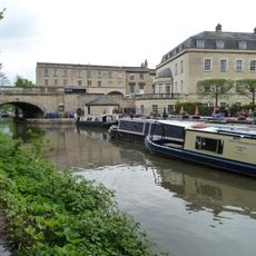
Sydney Wharf canal bridge
73 m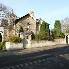
Sydney Gardens Hotel And Ravenswell
312 m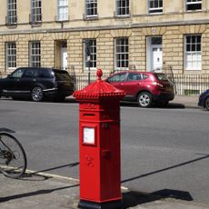
Pillar Box Outside No. 51, Great Pulteney Street
301 m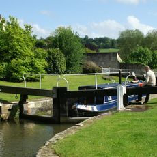
Top Lock
292 m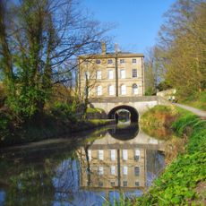
Cleveland House
303 m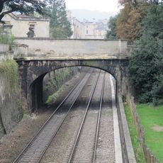
Bridge over Railway
255 m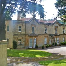
Kildare
229 m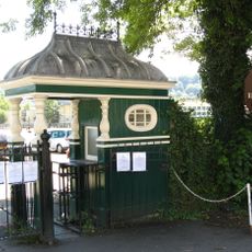
Entrance Kiosks And Gates To Recreation Ground
307 m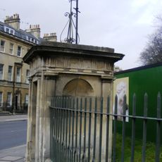
Two Watchman's Boxes at Holburne Museum
300 m
1-15, Dunsford Place
179 m
1-4, Bathwick Terrace
37 m
Baird's Malthouse
197 m
93-103 and 93A Sydney Place
220 m
23A, Sydney Buildings
256 m
Kennet House
257 m
Footbridge Adjoining Top Lock
311 m
23, Sydney Buildings
246 m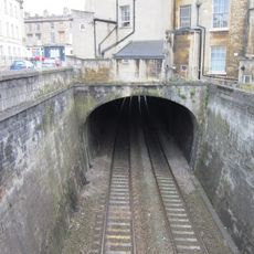
18, Raby Place
27 m
1-17, Raby Place
71 m
53-65 Great Pulteney Street
316 m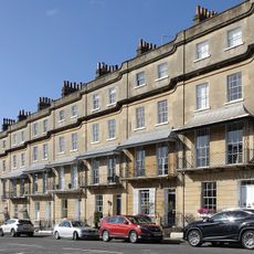
Raby Place
75 m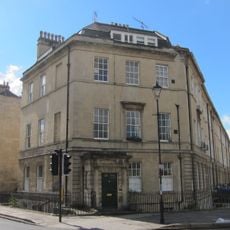
41a, Great Pulteney Street
273 m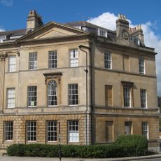
40, Great Pulteney Street
316 m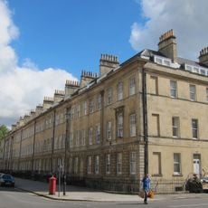
42-52, Great Pulteney Street
279 mReviews
Visited this place? Tap the stars to rate it and share your experience / photos with the community! Try now! You can cancel it anytime.
Discover hidden gems everywhere you go!
From secret cafés to breathtaking viewpoints, skip the crowded tourist spots and find places that match your style. Our app makes it easy with voice search, smart filtering, route optimization, and insider tips from travelers worldwide. Download now for the complete mobile experience.

A unique approach to discovering new places❞
— Le Figaro
All the places worth exploring❞
— France Info
A tailor-made excursion in just a few clicks❞
— 20 Minutes