
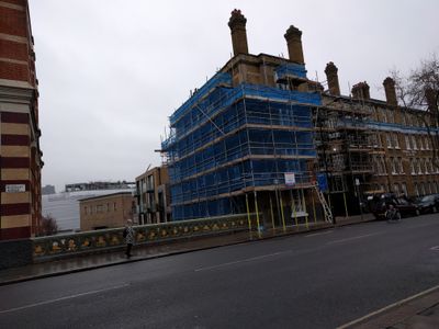
Rosebery Avenue Viaduct, bridge in London, UK
Location: London Borough of Islington
Location: London Borough of Camden
GPS coordinates: 51.52350,-0.11139
Latest update: March 4, 2025 18:34
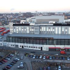
Royal Mail Mount Pleasant Sorting Office
139 m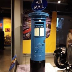
The Postal Museum
226 m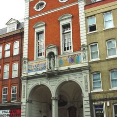
St Peter's Italian Church
207 m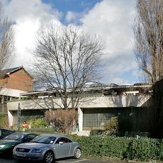
Finsbury Health Centre
232 m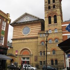
Our Most Holy Redeemer
268 m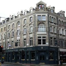
The Yorkshire Grey, Holborn
267 m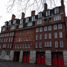
Clerkenwell Fire Station
140 m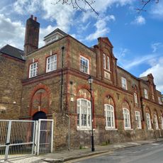
Former Bowling Green Lane Board School
311 m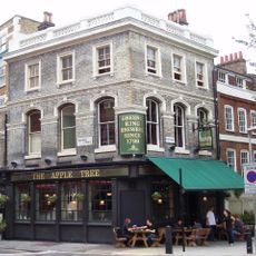
Apple Tree Public House
49 m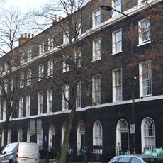
Numbers 2-24 And Attached Railings
293 m
18 And 20, Farringdon Lane
331 m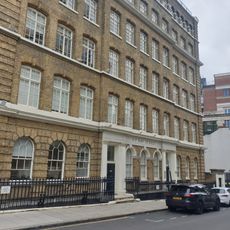
3-7 Ray Street, Clerkenwell
240 m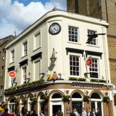
The Clock House Public House
277 m
113-117 Farringdon Road
240 m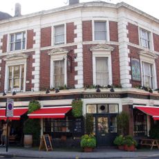
Pakenham Arms Public House
307 m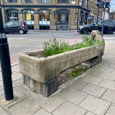
Cattle Trough
255 m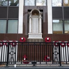
Postal Workers' War Memorial
123 m
83-89, Leather Lane
248 m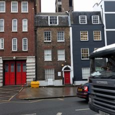
40, Rosebery Avenue
119 m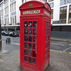
K2 Telephone Kiosk To North West At Junction With Mount Pleasant
97 m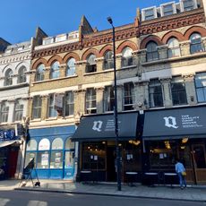
Quality Chop House
170 m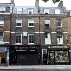
63 To 69, Grays Inn Road
230 m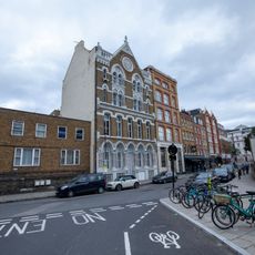
34, Farringdon Lane
292 m
Numbers 28-48 And Attached Railings
274 m
Presbytery To Roman Catholic Italian Church Of St Peter Roman Catholic Italian Church Of St Peter
209 m
Verulam Buildings Numbers 1 To 5 And Attached Railings
330 m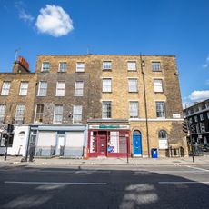
Number 240 And Attached Railings
333 m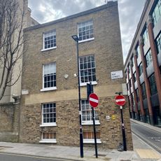
11, Ray Street
187 mReviews
Visited this place? Tap the stars to rate it and share your experience / photos with the community! Try now! You can cancel it anytime.
Discover hidden gems everywhere you go!
From secret cafés to breathtaking viewpoints, skip the crowded tourist spots and find places that match your style. Our app makes it easy with voice search, smart filtering, route optimization, and insider tips from travelers worldwide. Download now for the complete mobile experience.

A unique approach to discovering new places❞
— Le Figaro
All the places worth exploring❞
— France Info
A tailor-made excursion in just a few clicks❞
— 20 Minutes