
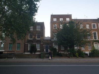
15, Clapham Road Sw9, building in Lambeth, Greater London, UK
Location: London Borough of Lambeth
GPS coordinates: 51.48038,-0.11356
Latest update: March 8, 2025 18:46
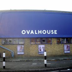
Ovalhouse
269 m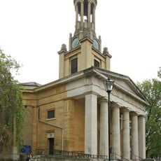
St Mark's Church, Kennington
159 m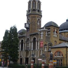
Christ Church
313 m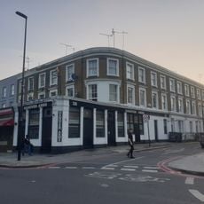
The Hanover Arms Public House
116 m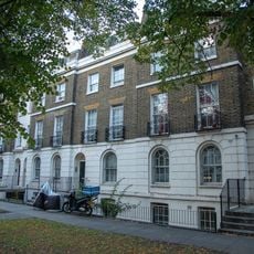
105, 107 And 109, Brixton Road Sw9
301 m
2-7, Hanover Gardens Se11
130 m
111-115, Brixton Road Sw9
324 m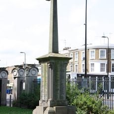
War memorial of St Mark's Church
156 m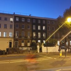
60-66, Clapham Road Sw9
157 m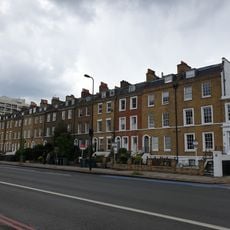
92-122, Clapham Road Sw9
288 m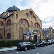
Christ Church Hall
320 m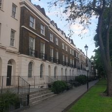
95-103, Brixton Road Sw9
278 m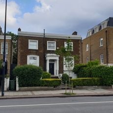
75, Clapham Road Sw9
222 m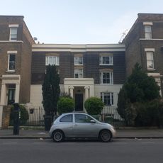
5, Prima Road Sw9
132 m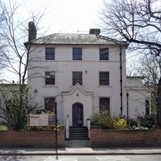
Oval House
244 m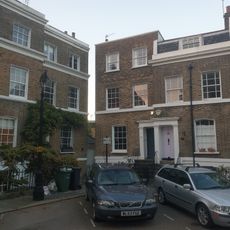
38, Hanover Gardens Se11
221 m
44-48, Hanover Gardens Se11
184 m
20, Hanover Gardens Se11
185 m
49-54, Hanover Gardens Se11
157 m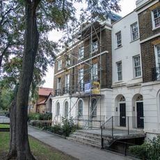
91 And 93, Brixton Road Sw9
259 m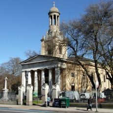
Wall And Piers Around West, North And East Sides Of St Mark's Churchyard
190 m
27-41, Clapham Road Sw9
66 m
39 And 40, Hanover Gardens Se11
213 m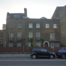
22 And 24, Brixton Road Sw9
138 m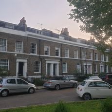
21-27, Hanover Gardens Se11
202 m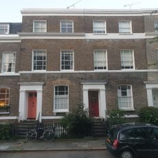
41,42 And 43, Hanover Gardens Se11
202 m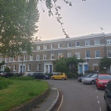
28-37, Hanover Gardens Se11
222 m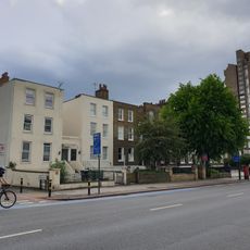
63-73, Clapham Road Sw9
215 mReviews
Visited this place? Tap the stars to rate it and share your experience / photos with the community! Try now! You can cancel it anytime.
Discover hidden gems everywhere you go!
From secret cafés to breathtaking viewpoints, skip the crowded tourist spots and find places that match your style. Our app makes it easy with voice search, smart filtering, route optimization, and insider tips from travelers worldwide. Download now for the complete mobile experience.

A unique approach to discovering new places❞
— Le Figaro
All the places worth exploring❞
— France Info
A tailor-made excursion in just a few clicks❞
— 20 Minutes