
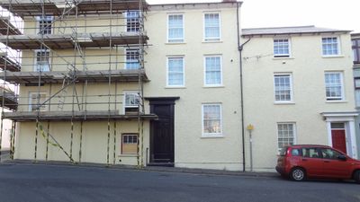
No.26 Penmaesglas Road, Grade II listed building in Ceredigion. Corner sited, set into a steep slope; No 12 facing up St Michael's Place No 14 was formerly occupied by the Ceredigion Museum.
Location: Aberystwyth
Elevation above the sea: 17.1 m
GPS coordinates: 52.41300,-4.08767
Latest update: March 21, 2025 20:17
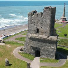
Aberystwyth Castle
131 m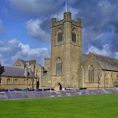
St Michael's Church
103 m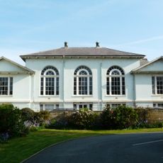
Old Assembly Rooms
101 m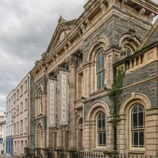
The Academy
132 m
Former Vestry to St.Michael's & All Angels Parish Church
124 m
No.23 Bridge Street (The Nag's Head P.H.)
131 m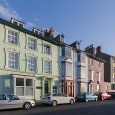
No.60 Great Darkgate Street (Jasper House)
75 m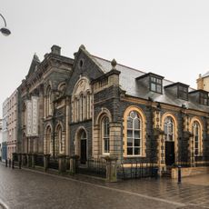
Schoolroom to St.Paul's Welsh Wesleyan Methodist Church
122 m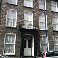
Westminster House
135 m
Sion Welsh Independent Chapel
30 m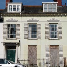
No.9 Laura Place (Staff House)
113 m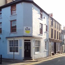
No.9 Princess Street
108 m
No.14 Princess Street
99 m
Nos.17 & 19 Bridge Street (Connexion)
134 m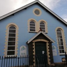
Elim Pentecostal Church
128 m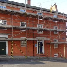
No.12 Vulcan Street
8 m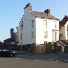
No.27 Sea View Place
128 m
No.15 Bridge Street (Julia's Restaurant)
139 m
No.14 Vulcan Street
5 m
No.18 Princess Street
81 m
No.16 Princess Street
86 m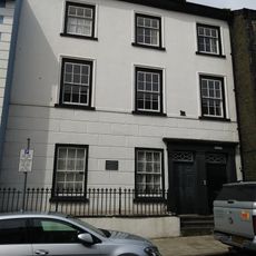
Old Bank House
144 m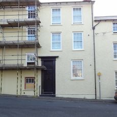
No.24 Penmaesglas Road
6 m
No.12 Laura Place
82 m
No.11 Laura Place
80 m
No.66 Great Darkgate Street (Brynawel)
55 m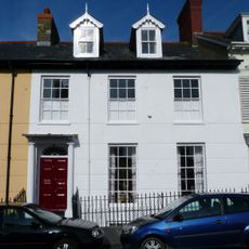
No.8 Laura Place
134 m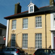
No.7 Laura Place (The Rectory)
134 mReviews
Visited this place? Tap the stars to rate it and share your experience / photos with the community! Try now! You can cancel it anytime.
Discover hidden gems everywhere you go!
From secret cafés to breathtaking viewpoints, skip the crowded tourist spots and find places that match your style. Our app makes it easy with voice search, smart filtering, route optimization, and insider tips from travelers worldwide. Download now for the complete mobile experience.

A unique approach to discovering new places❞
— Le Figaro
All the places worth exploring❞
— France Info
A tailor-made excursion in just a few clicks❞
— 20 Minutes