
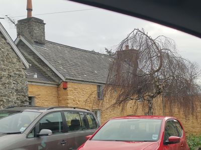
Mill House, Grade II listed building in Ceredigion. Situated on E side of village, alongside by-road, E of Maes-y-felin. Afon Wyre to S, Afon Carrog to N.
Location: Llanrhystud
Elevation above the sea: 25.3 m
GPS coordinates: 52.30732,-4.13861
Latest update: March 3, 2025 11:56
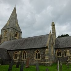
Church of St Rhystyd
604 m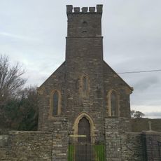
Church of St Deiniol
2.9 km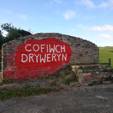
Cofiwch Dryweryn mural
1.2 km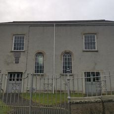
Rhiw-Bwys Chapel
700 m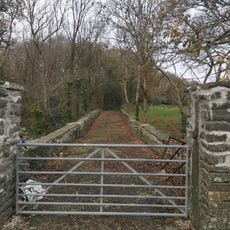
Bridge to NE of Aberffrwd
2.9 km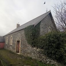
Sunday School
3.7 km
No 3 Craiglas Lime Kiln
2.8 km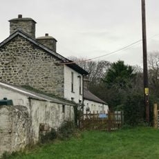
Brechfa
3.6 km
Priory
3.7 km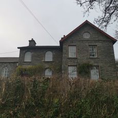
Aberffrwd
2.9 km
Felin Ganol
13 m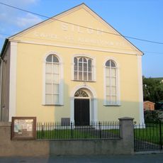
Seilo Welsh Independent Chapel
3.8 km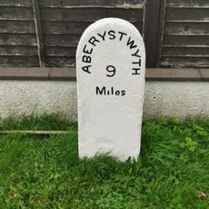
Milestone on A487
715 m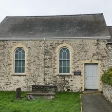
Salem Baptist Chapel
540 m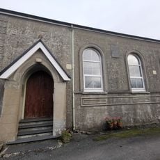
Capel Elim
2.9 km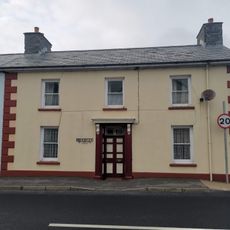
Bramley
3.8 km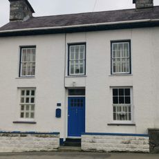
Glandwr
3.6 km
Mabws Hall
2.6 km
Barbara
3.7 km
Rose Villa
3.8 km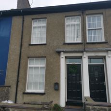
Dolfor
3.7 km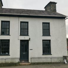
Werndeg
3.6 km
Walled Enclosure at Craiglas Lime Kilns
2.9 km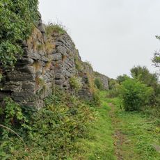
No 4 Craiglas Lime Kiln
2.8 km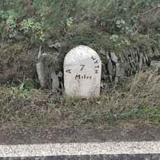
Milestone on A487
2.4 km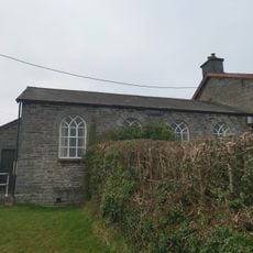
Church Hall
2.9 km
Church Hall
649 m
Blaenwyre Sunday School
3.1 kmReviews
Visited this place? Tap the stars to rate it and share your experience / photos with the community! Try now! You can cancel it anytime.
Discover hidden gems everywhere you go!
From secret cafés to breathtaking viewpoints, skip the crowded tourist spots and find places that match your style. Our app makes it easy with voice search, smart filtering, route optimization, and insider tips from travelers worldwide. Download now for the complete mobile experience.

A unique approach to discovering new places❞
— Le Figaro
All the places worth exploring❞
— France Info
A tailor-made excursion in just a few clicks❞
— 20 Minutes