
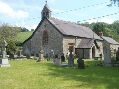
Church of Saint Cwrdaf, grade II listed building in Llanwrda, situated on E side of A482 at N edge of Llanwrda village
Location: Llanwrda
Elevation above the sea: 59.8 m
GPS coordinates: 51.97106,-3.87559
Latest update: March 4, 2025 02:50
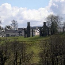
Llwynywermod
5.8 km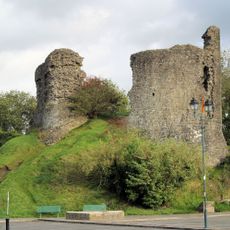
Llandovery Castle
6 km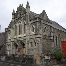
Williams Pantycelyn Memorial Church
6.1 km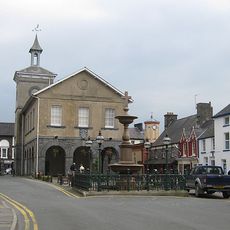
The Town Hall
6 km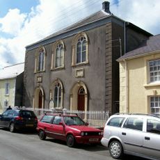
Salem Independent Chapel
6.2 km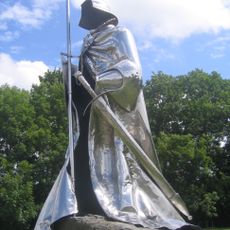
Statue of Llywelyn ap Gruffydd Fychan
6 km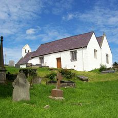
St Sadwrn's Church, Llansadwrn
1.8 km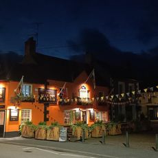
White Hall Hotel
6.1 km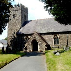
St Cadog's Church
3.6 km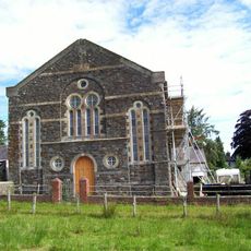
Capel Ebenezer
1.8 km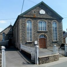
Providence Independent Chapel and vestry
3.9 km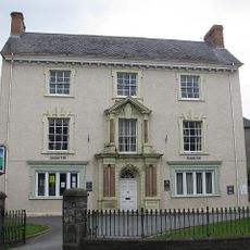
Prospect House
6.1 km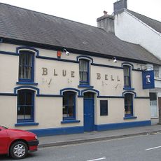
The Blue Bell
6.1 km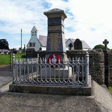
The War Memorial
1.8 km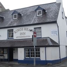
The King's Head
6 km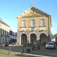
Llandovery Library
6 km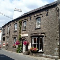
Red Lion Hotel
3.6 km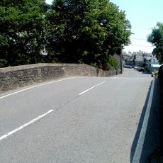
Pont Bran
3.5 km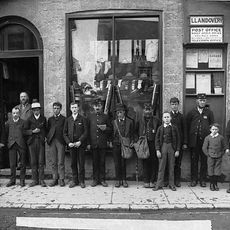
The Post Office
6 km
Old Printing Office
5.9 km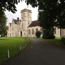
Coleg Llanymddyfri
5.9 km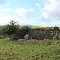
Capel y Gors
4.4 km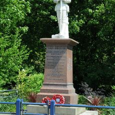
The War Memorial
297 m
War Memorial and chain-link surround
5.9 km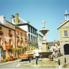
Lewis Memorial Fountain
6 km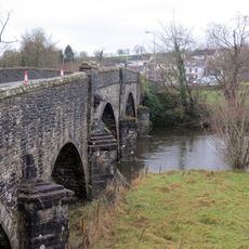
Bont-ar-Towy
3.8 km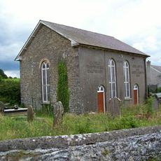
Siloh Chapel
5.9 km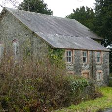
Capel Libanus (baptist Chapel)
3.1 kmReviews
Visited this place? Tap the stars to rate it and share your experience / photos with the community! Try now! You can cancel it anytime.
Discover hidden gems everywhere you go!
From secret cafés to breathtaking viewpoints, skip the crowded tourist spots and find places that match your style. Our app makes it easy with voice search, smart filtering, route optimization, and insider tips from travelers worldwide. Download now for the complete mobile experience.

A unique approach to discovering new places❞
— Le Figaro
All the places worth exploring❞
— France Info
A tailor-made excursion in just a few clicks❞
— 20 Minutes