
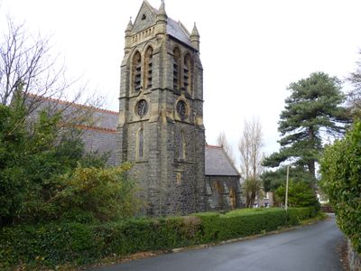
Church of St Seiriol, Grade II listed building in Conwy County Borough. Towards the eastern edge of Penmaenmawr, on a narrow road above the main street
Location: Penmaenmawr
Elevation above the sea: 44.7 m
GPS coordinates: 53.27024,-3.91819
Latest update: April 3, 2025 18:17
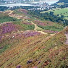
Mynydd y Dref
4 km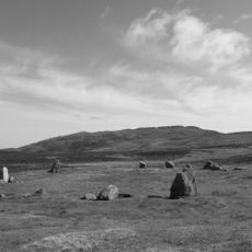
Tal y Fan
4 km
Castell Caer Seion
4 km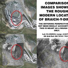
Braich-y-Ddinas
2.4 km
Caer Bach
4.2 km
Maen y Bardd
5.1 km
Penmaen Mawr
2.1 km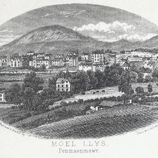
Foel Lus
934 m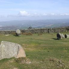
Cefn Llechen Stone Circle
2.8 km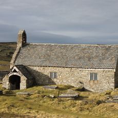
St Celynin's Old Church
4.1 km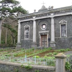
Pen-y-Cae Chapel
179 m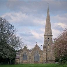
Christ Church
4.4 km
Cerrig-y-ddinas, Llangelynin
4.1 km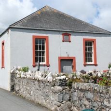
Henryd Welsh Independent Chapel
5.1 km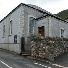
Horeb Welsh Independent Chapel
1 km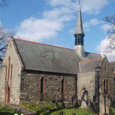
St Gwynan's Church
1.7 km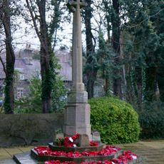
War Memorial
4.4 km
Pont Henryd
5 km
Gerizim Independent Church
4 km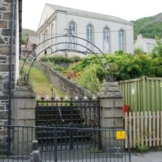
Salem Welsh Independent Chapel
1.3 km
Penmaenmawr English Congregational Church
455 m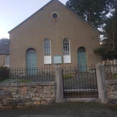
Tabernacl Chapel
4.2 km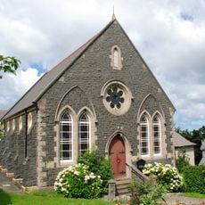
Tabernacl Welsh Independent Chapel
503 m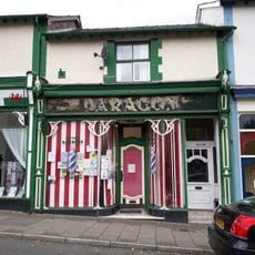
Paragon Electrical Shop
4.4 km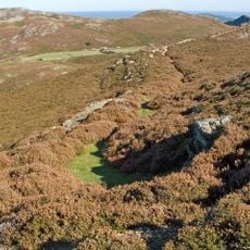
Dinas Allt Wen, Dwygyfylchi
2.5 km
Peniel Independent Chapel
4.4 km
The Towers
4.4 km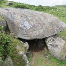
Siambr Gladdu Caer Bach
4.3 kmVisited this place? Tap the stars to rate it and share your experience / photos with the community! Try now! You can cancel it anytime.
Discover hidden gems everywhere you go!
From secret cafés to breathtaking viewpoints, skip the crowded tourist spots and find places that match your style. Our app makes it easy with voice search, smart filtering, route optimization, and insider tips from travelers worldwide. Download now for the complete mobile experience.

A unique approach to discovering new places❞
— Le Figaro
All the places worth exploring❞
— France Info
A tailor-made excursion in just a few clicks❞
— 20 Minutes